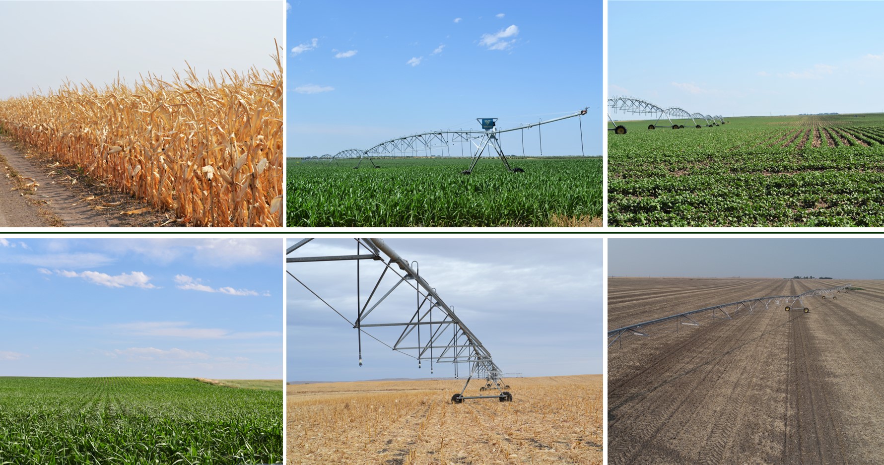
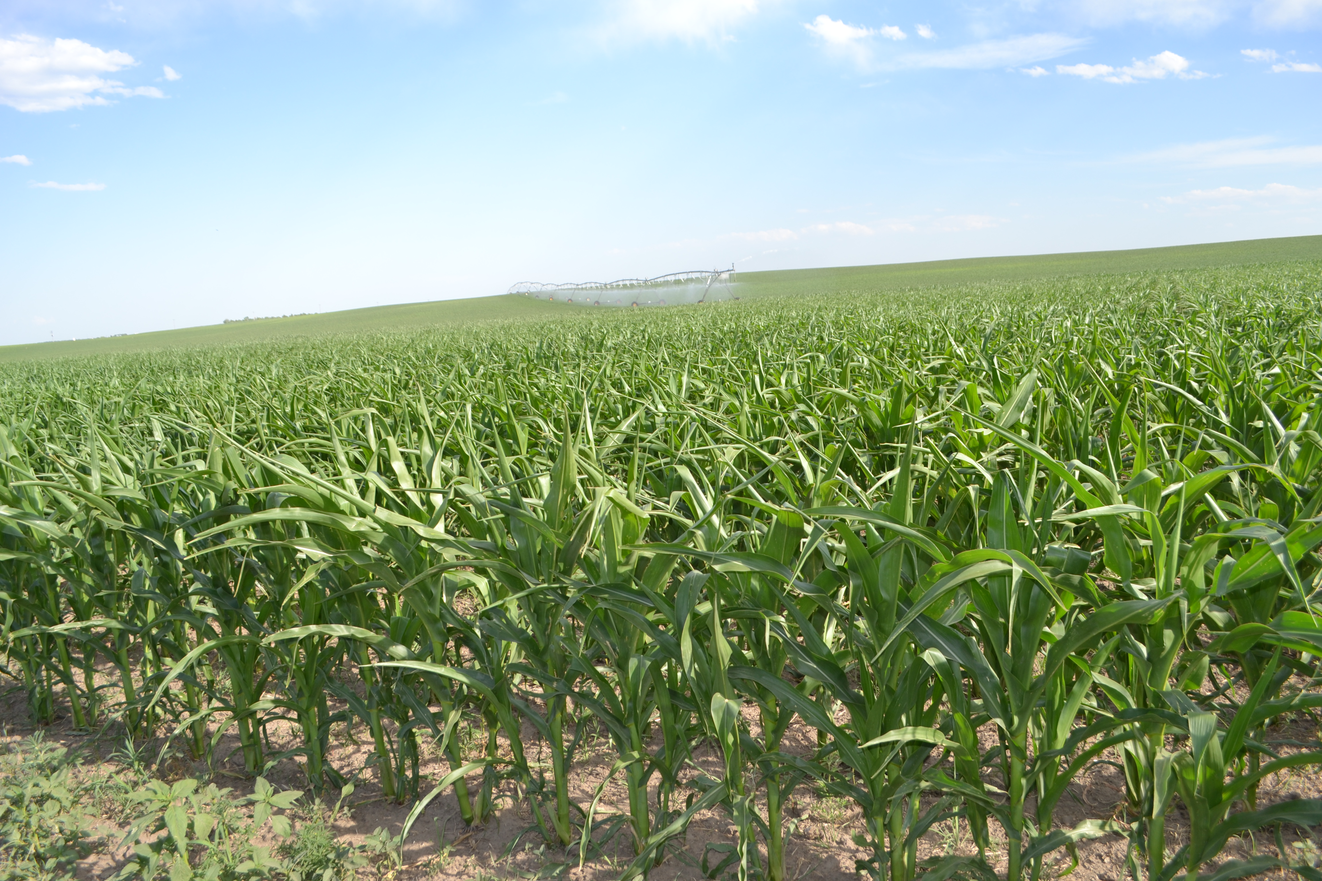
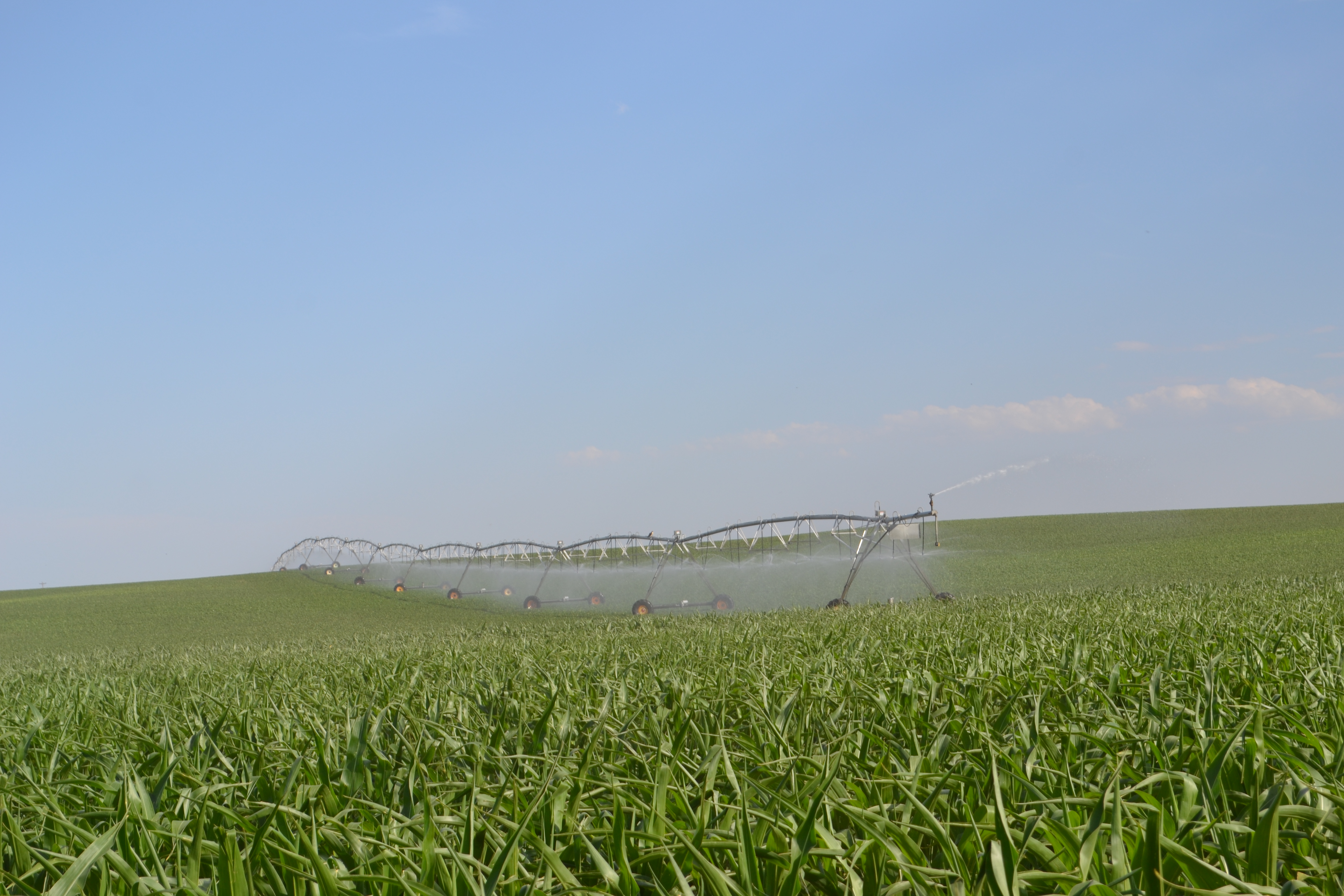
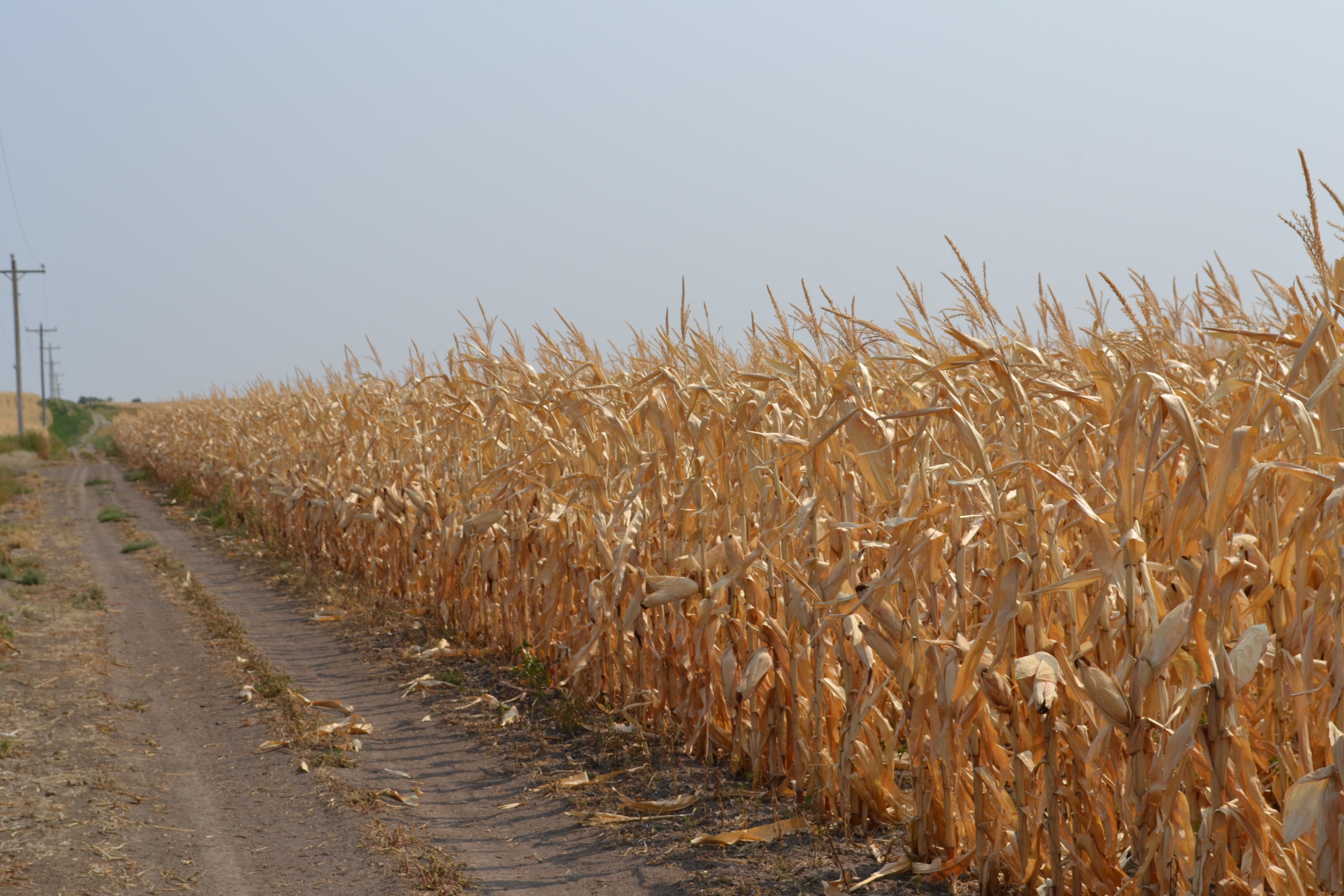
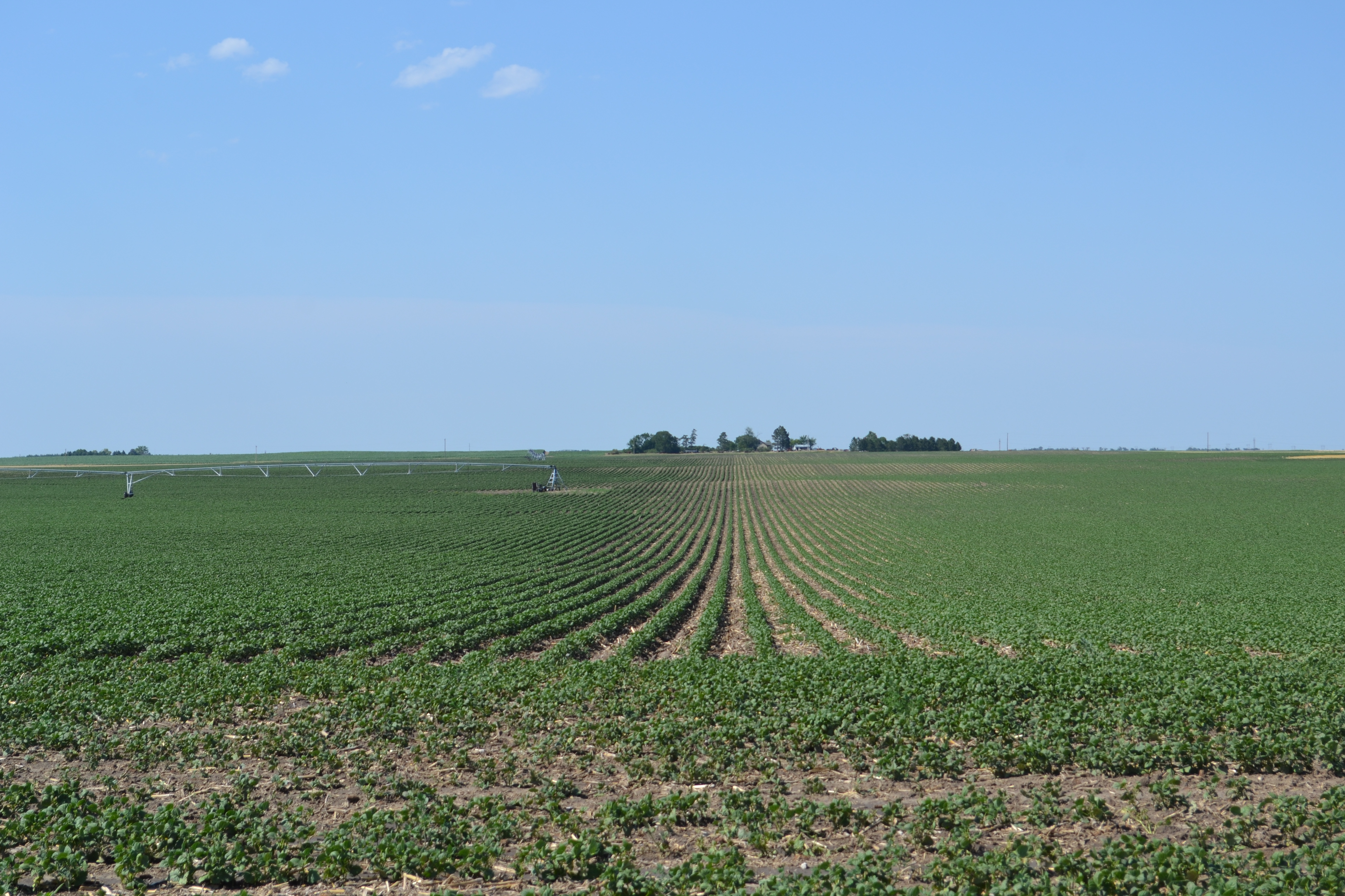
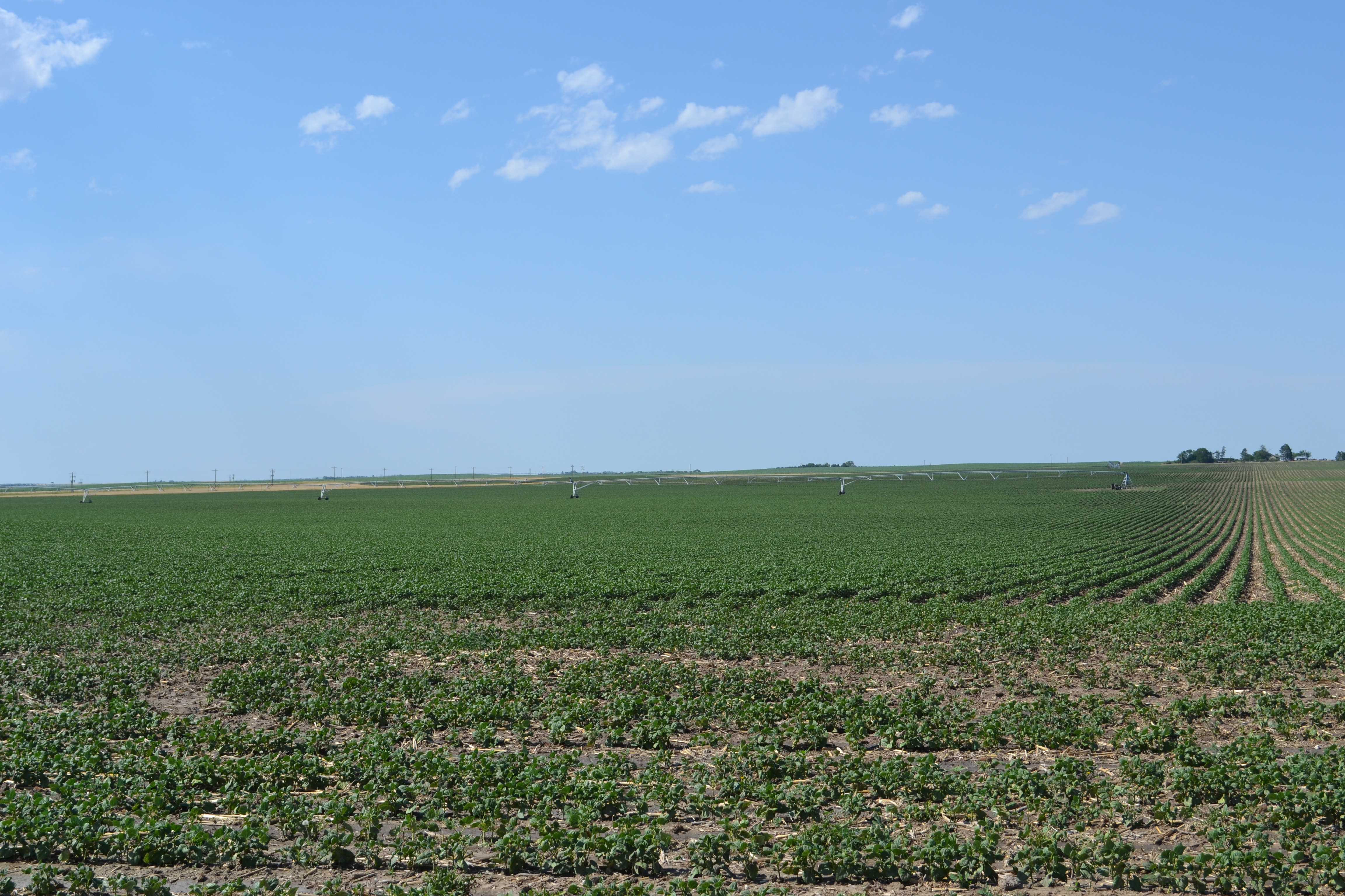
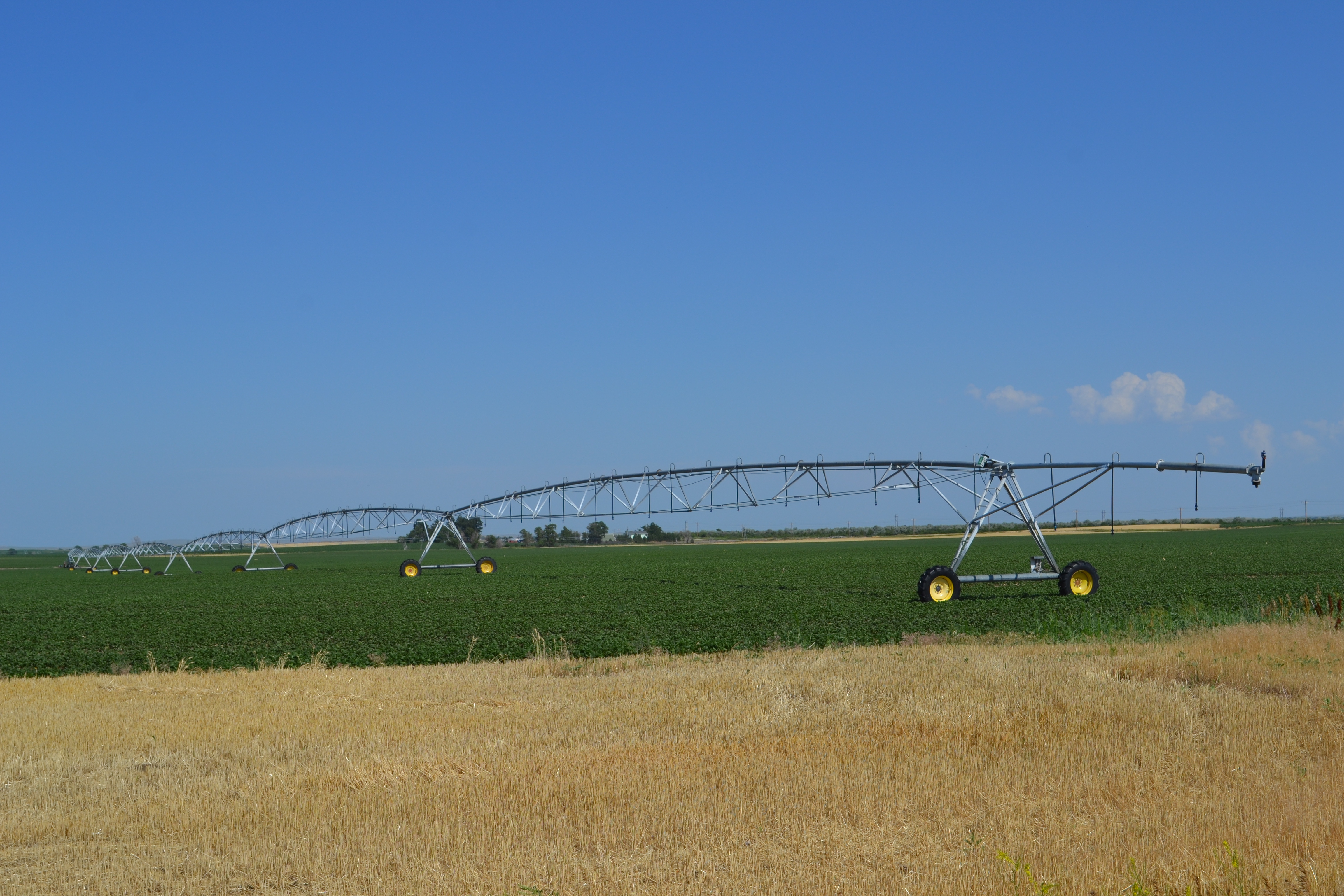
Box Butte Co. Land Auction – 5 Pivots, 806 Acres – Helroy, LLC
LAND AUCTION
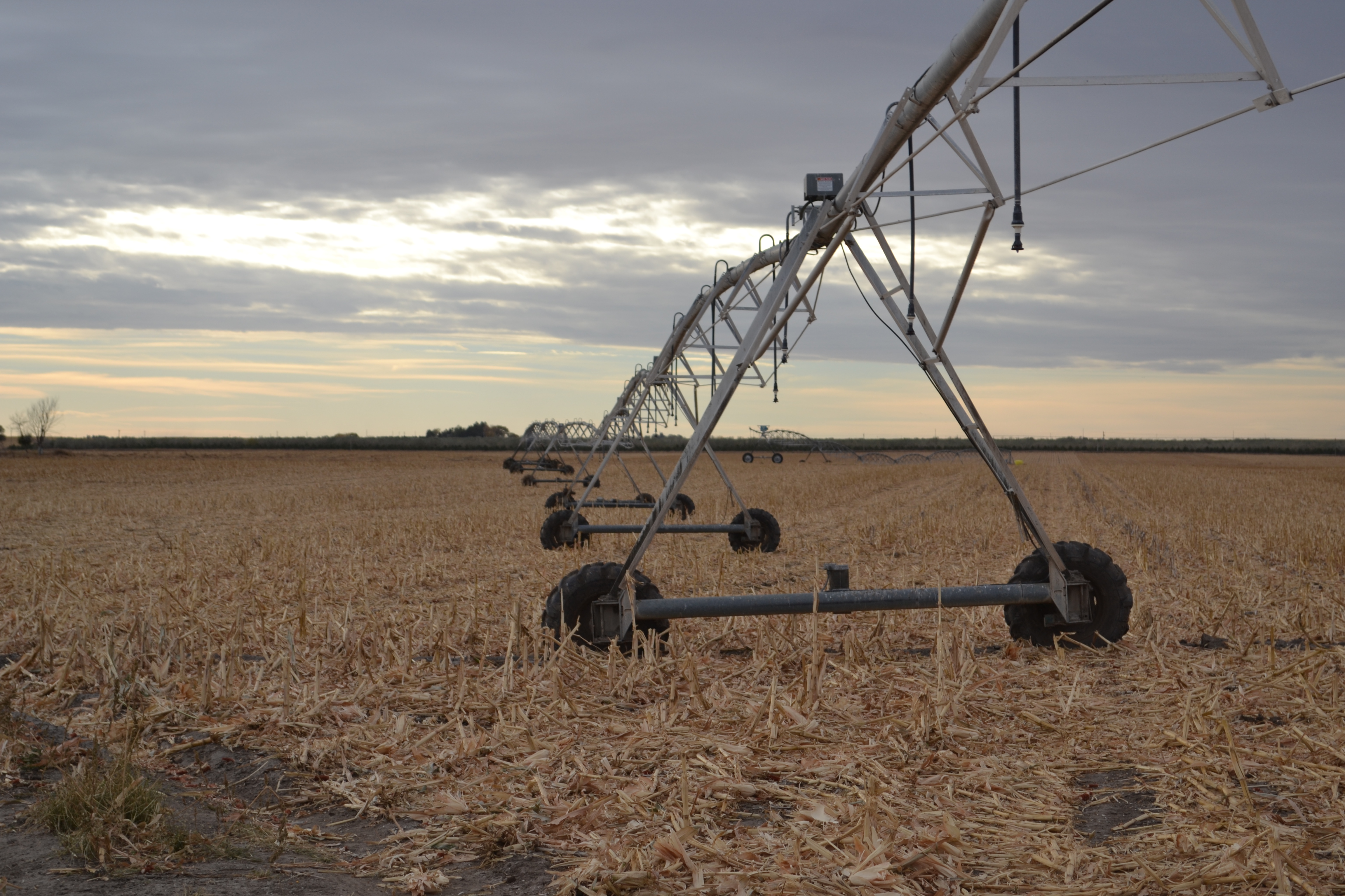
5 Irrigated Center Pivots · 806± Total Acres
Land Located north of Alliance, NE and west of Hemingford, NE in Box Butte County, Nebraska
Fri., December 4th, 2020 · 1:30pm
AUCTION LOCATION: Box Butte County Fairgrounds Multi-Purpose Hall, Hemingford, NE.
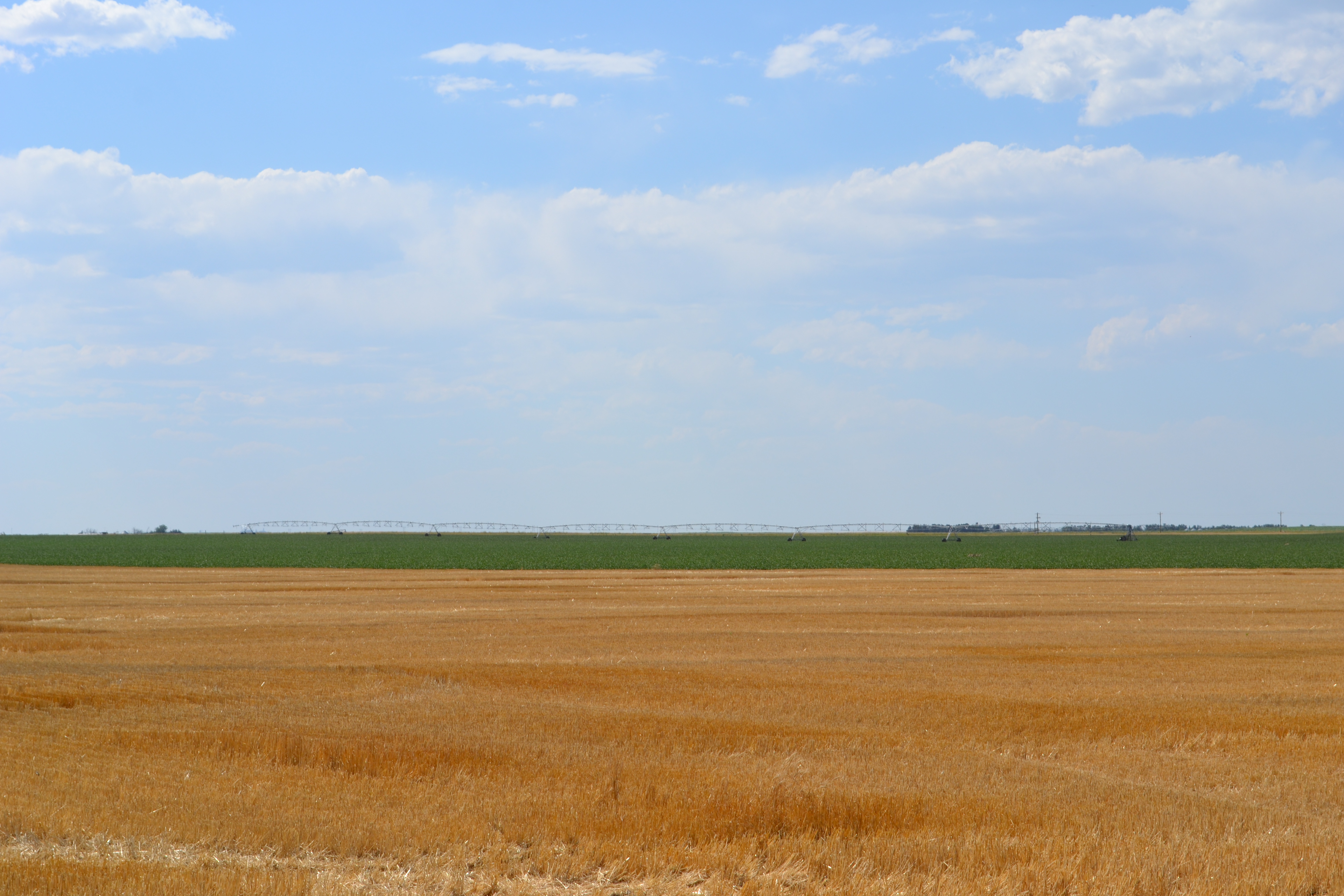
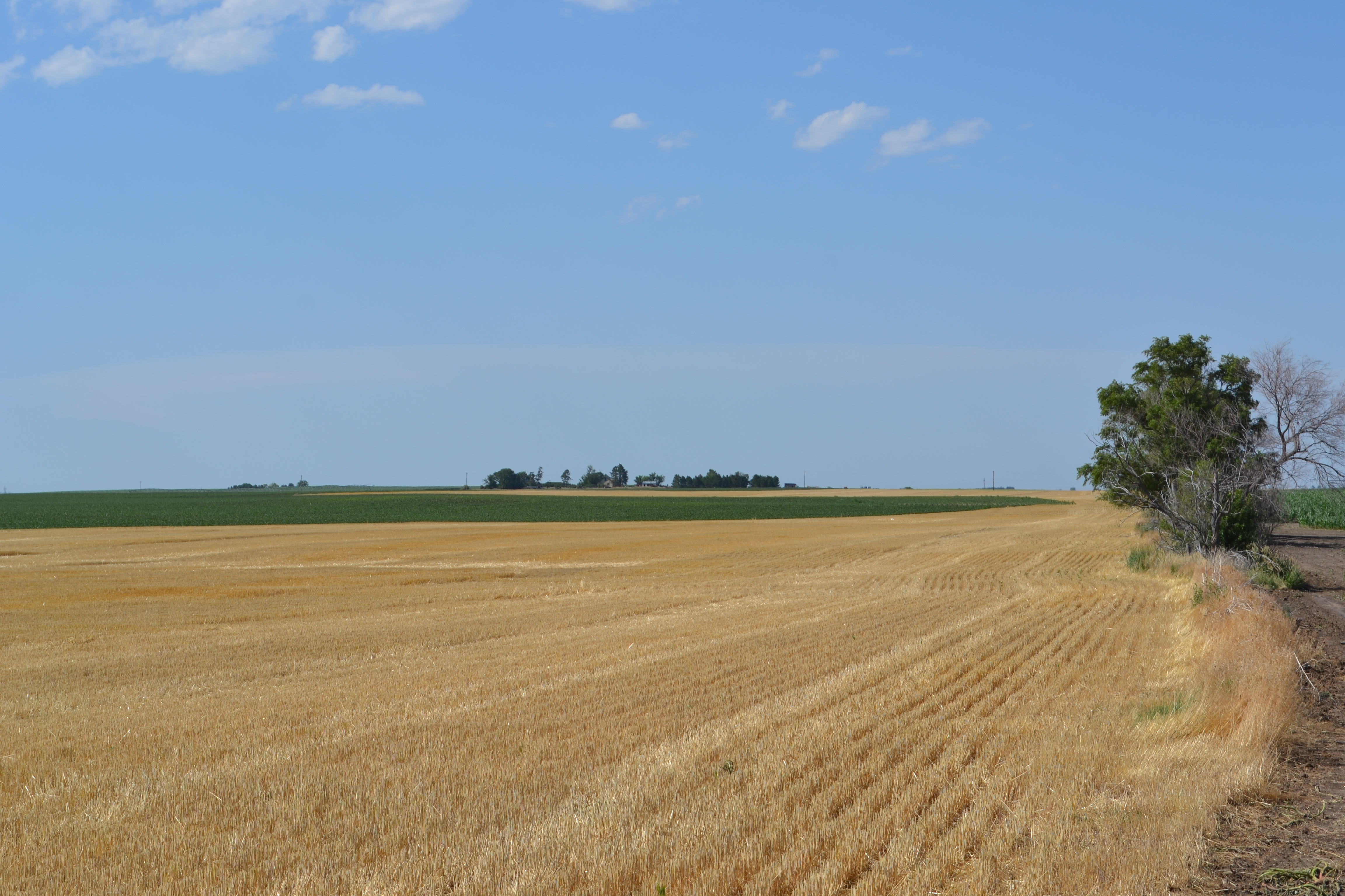
Productive Irrigated Farm Land in a highly respected crop-producing area!
Offered in 4 separate Tracts.
 SECTION 12: 166Acres +/-
SOLD! $1,830.00/Acre
Very good producing Pivot Irrigated Quarter that has been an income producer for the landlord. This is a well-kept clean quarter with lots of potential. Newer irrigation well! Crop Ins. Proven yield to 2019 was 171 bu. For Corn! Good access to markets, just ½ mile off Hwy. 2!
Sec. 12 Info Sheet 12 Aerial 12 Soils 12 NDVI 12 Contours 12-27-51 FSA Color Maps
Location: 7.5 miles west of Hemingford, NE on Highway 2, then 1 mile North on Rd 78 and ½ mile east on a trail road (which is Dakota Road – dedicated but not maintained) to northwest corner. OR 7 miles West on Hwy 2 to Former Beet dump, then ½ mile North on old trail Road to southeast corner.
Legal Description: NE 1/4 Section 12, Twp. 27N, Range 51 West of the 6th P.M. Box Butte County, Nebraska.
Real Estate Tax Information: 2019 Taxes are $3,549.96 on 166 acres. Taxing on 135.62 Irrigated acres and 30.38 Dryland acres. The appraised value for taxes is $421,000.00. (Don’t let this affect what you are willing to pay)
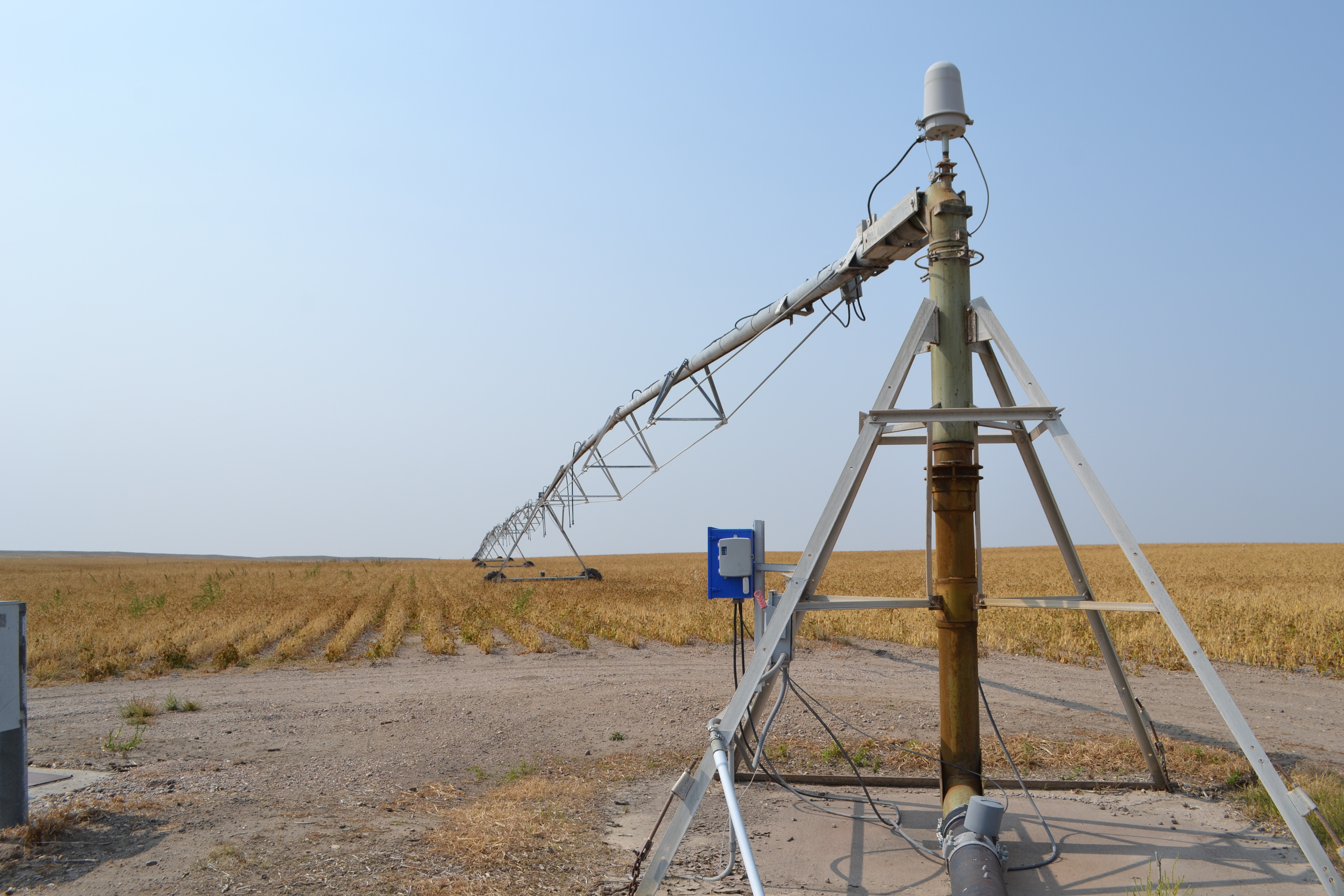
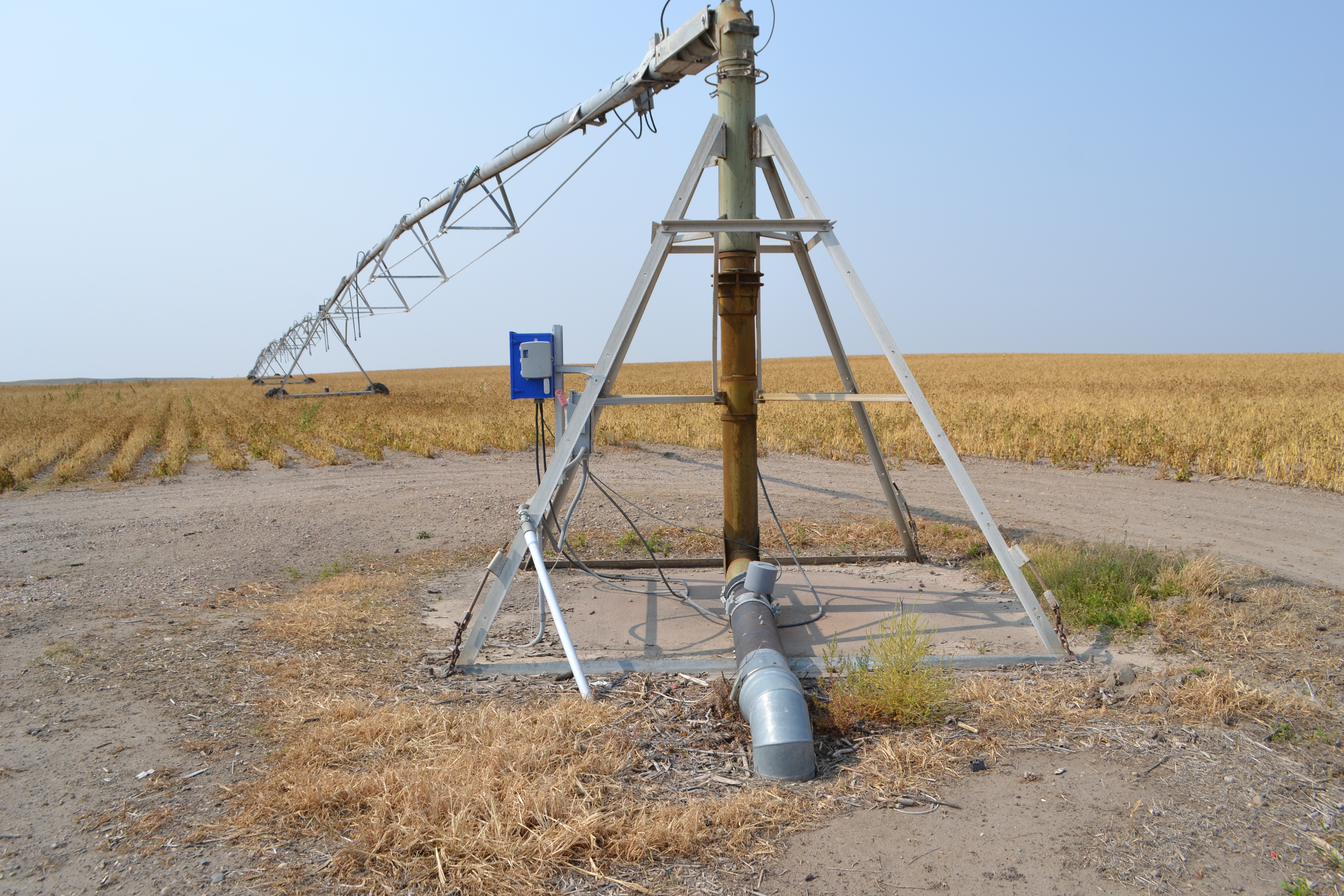
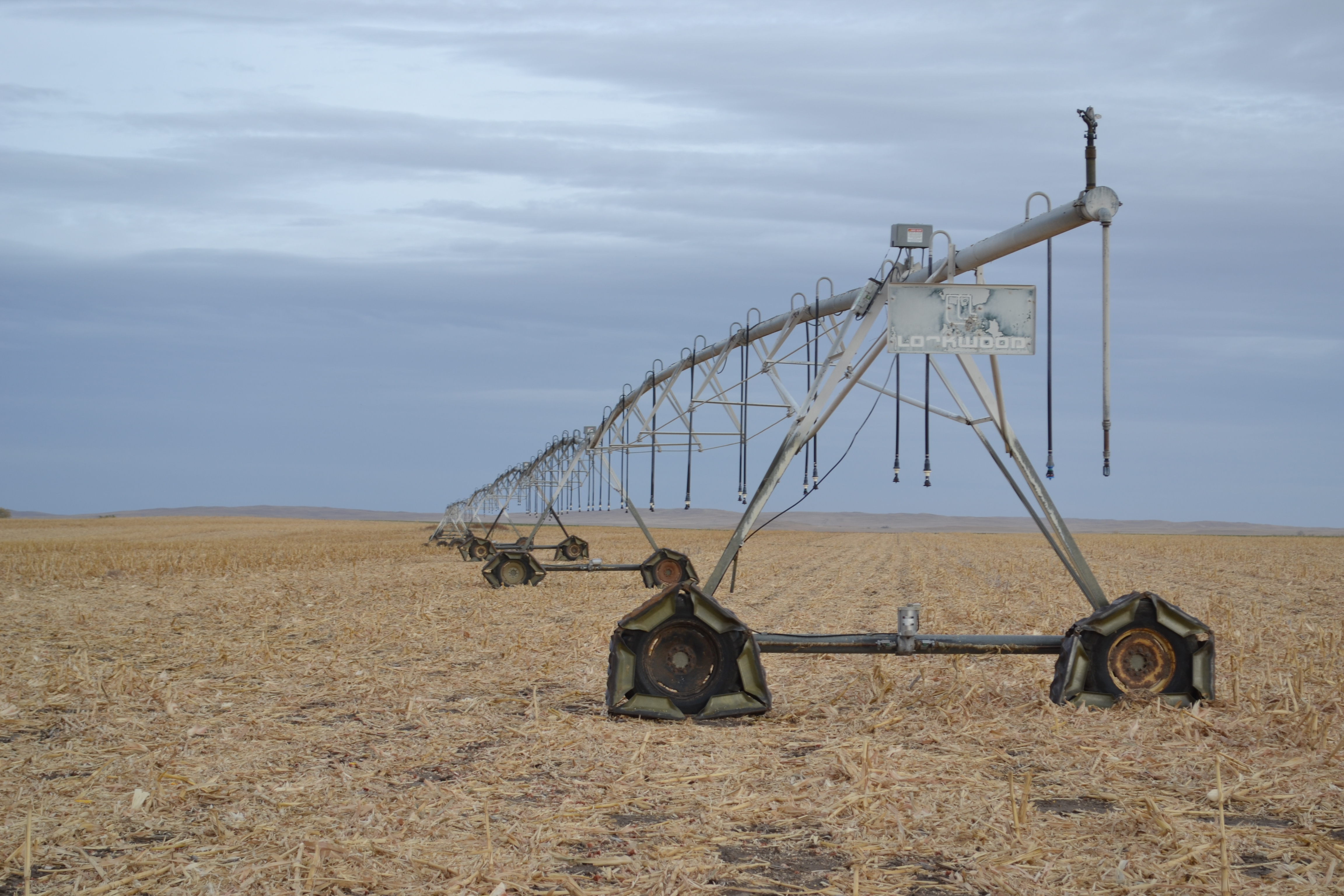
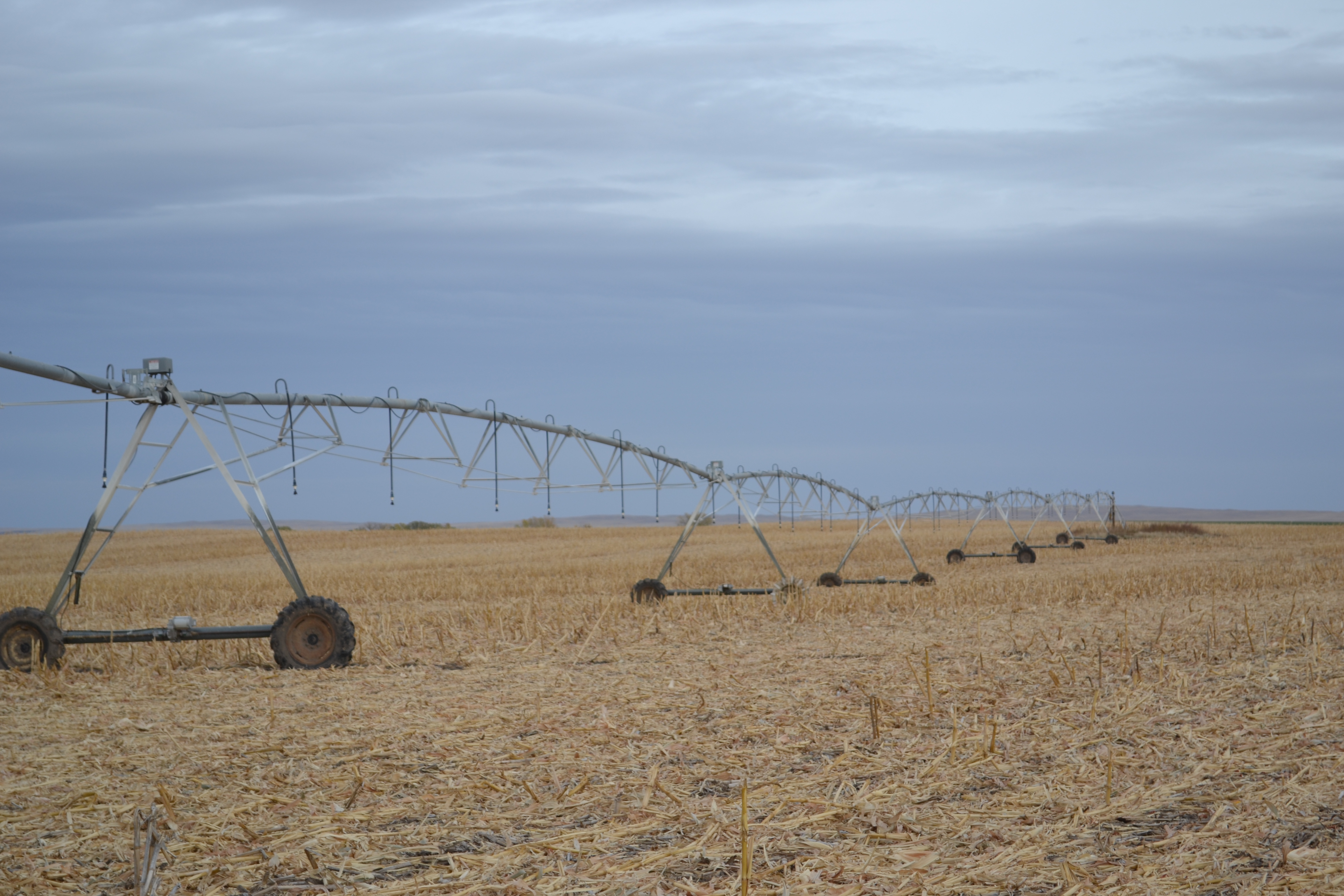
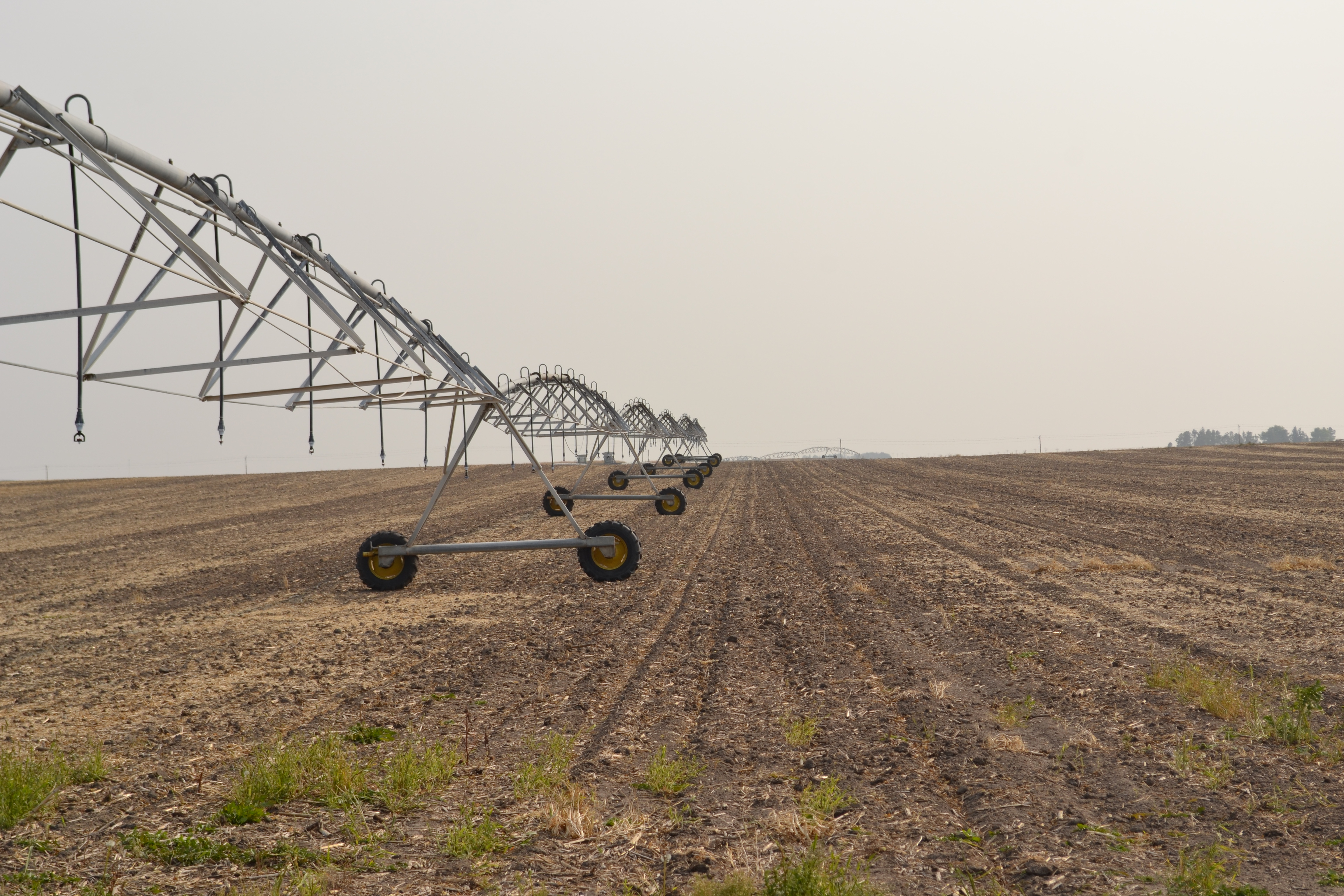
Irrigation Equipment: The farm has a 1988 Lockwood 10 tower center pivot sprinkler, with a newer Reinke panel, and 75 h.p. electric motor.
NRD Info: 132.3 Certified acres. Well #G-143245.The irrigation was redrilled in 2012 with a depth of 410 feet, 800 gallons per minute and a pumping level of 235 feet, static level was at 210 feet.
Farm Service Agency Information: 132 Acres under pivot, 32.4 Acres Dryland. Farm Land is 168.37 acres DCP Cropland is 168.37 acres. Wheat base is 10.41 acres and PLC yield of 49 bushel, 83.89 Acres corn base with a PLC Yield of 143 bushel.
Soils: Keith loam 24.0%, Alliance loam 21.1%, Rosebud Canyon complex, 20.1%, Duroc loam 24%
Possession: Buyer will have Full Possession on Closing.
Sale Day Deposit: $40,000.00
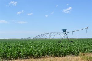 SECTION 29: 340 Acres +/-
SOLD! $2,300.00/Acre
Two proven producing pivot irrigated farms, just 1 mile off of Highway 87 providing good access to markets. Both pivots are in good operating condition. This Farm also provides recreational opportunity with great hunting potential. Crop Ins. Proven yield to 2019 was 195 bu. For Corn! The Farm has good soils and is just 1 mile off Hwy. 87!
Sec. 29 Info Sheet both Qtrs 29 SE Qrt Aerial 168 acres 29 SW Qrt Aerial 167 49 acres 29 Soils Map 29 NDVI 29 contours 29-27-47 FSA Color Map 29-27-47 Map of each Quarter drawn
Location: 11 miles north of Alliance Nebraska on Hwy 87 to Gage Road then 1 mile east to the southwest corner.
Legal Description: S ½ of Section 29 Twp. 27N, Range 47 West of the 6th PM in Box Butte County, NE.
Real Estate Tax Information: 2019 Taxes on 339.9 acres are 10,201.58. Taxing on 260.51 Irrigated acres and 63.59 Dryland acres, 4.23 acres of roads, and 11.57 acres in waste. Appraised value for taxes is $912,400.00. Tax ID#070105774. (Don’t let this affect what you are willing to pay)
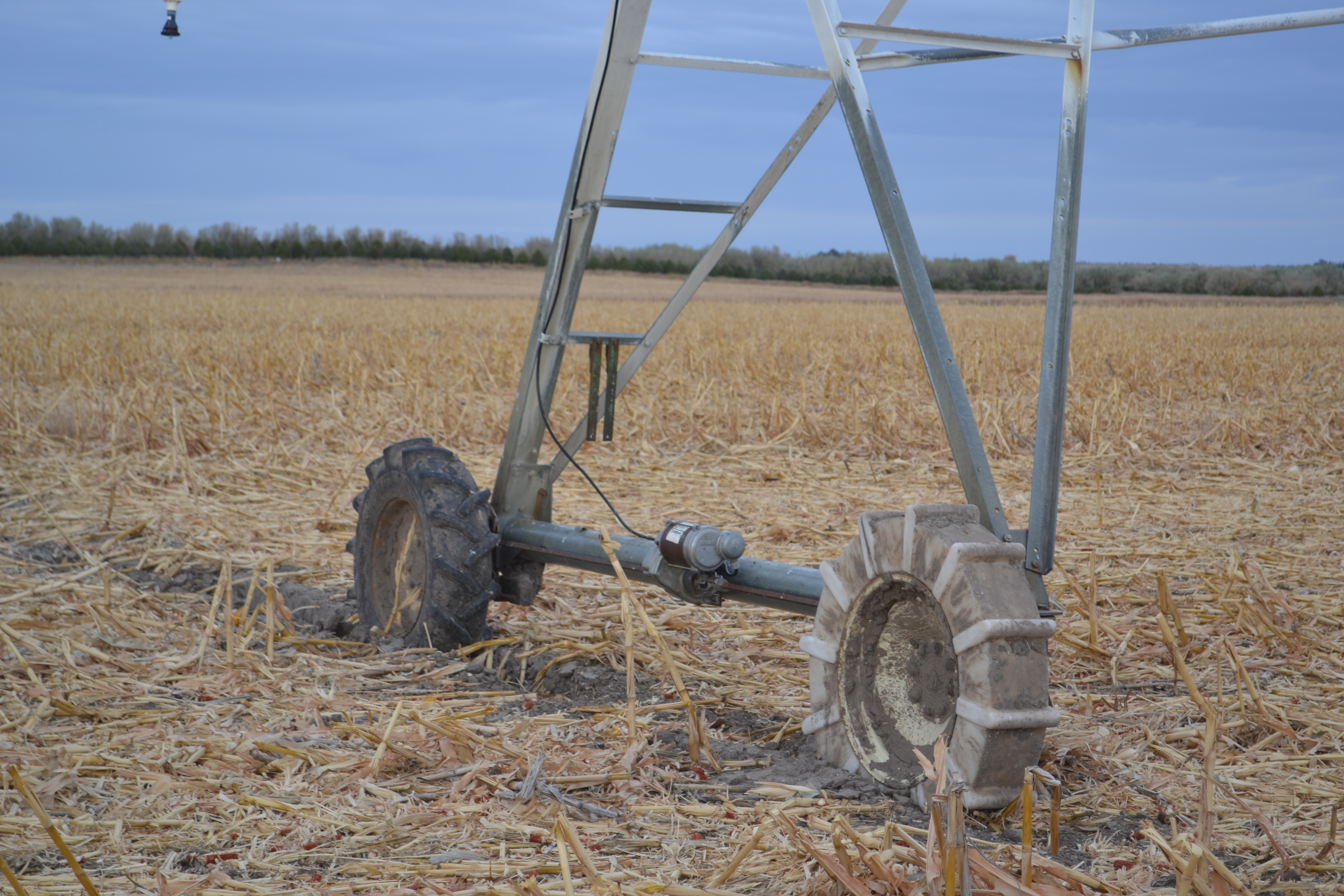
Irrigation Equipment: This farm is irrigated by 2 center pivot sprinklers, each with it’s own well. There is a 1995 Valley 8000 – 7 Tower pivot on the west side and a 1982 Lockwood 9 tower pivot on the east side. The pivots are equipped with a variety of tires necessary for low areas. The Lockwood pivot had new Tower Boxes in 2019. The irrigation pumps are powered by 75 Hp. (W) and 100 Hp. (E) electric motors.
NRD Info: 264 Certified acres. Well #’s G-055355 & G-122933. There are 2 irrigation wells supplying the center pivots drilled in 1976 & 2003 with a depth of 360 feet each, 750 & 780 gallons per minute and a pumping level of 172 & 206 feet, static level was 78’ and 83’.
Farm Service Agency Information: 258 Acres under pivot (128 acres west and 130 acres east), 59.52 Acres Dryland. Farm Land is 335.31 acres DCP Cropland is 330.13 acres. Wheat base is 81.05 acres and PLC yield of 69 bushel , 104.97 Acres corn base with a PLC Yield of 157 bushel.
Soils: Primarily Alliance, Duroc and Hemingford Loam.
Possession: Buyer will have Full Possession on Closing.
Sale Day Deposit: $40,000.00 (per 170 Acre Qtr.)
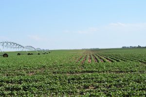 SECTION 35: 300 Acres +/-
SOLD! $2,850.00/Acre
Very appealing half section of farm ground. The topography is nearly flat and the ground has had very good stewardship. This will be a very good long time producer for the new owner. Crop Ins. Proven yield to 2019 was 211 bu. for Corn! With more modern irrigation equipment, this will be a highly respected farm!
Sec. 35 Info Sheet 35 Aerial 35 Soils 35 NDVI 35 Contours 35 Chemigation Notice 35-27-48 FSA Color Map
Location: 10 miles north of Alliance, Nebraska on Hwy. 87 to Grant Road then 1 & 1/2 miles west to the southeast corner.
Legal Description: W 1/2 Section 35, Twp. 27N, Range 48 West of the 6th PM in Box Butte County, NE.
Real Estate Tax Information: 2019 Taxes on 300.06 acres are 9,217.42. Taxing on 240.52 Irrigated acres and 53.52 Dryland acres, 6.02 acres of roads. Appraised value for taxes is $838,200.00. (Don’t let this affect what you are willing to pay)
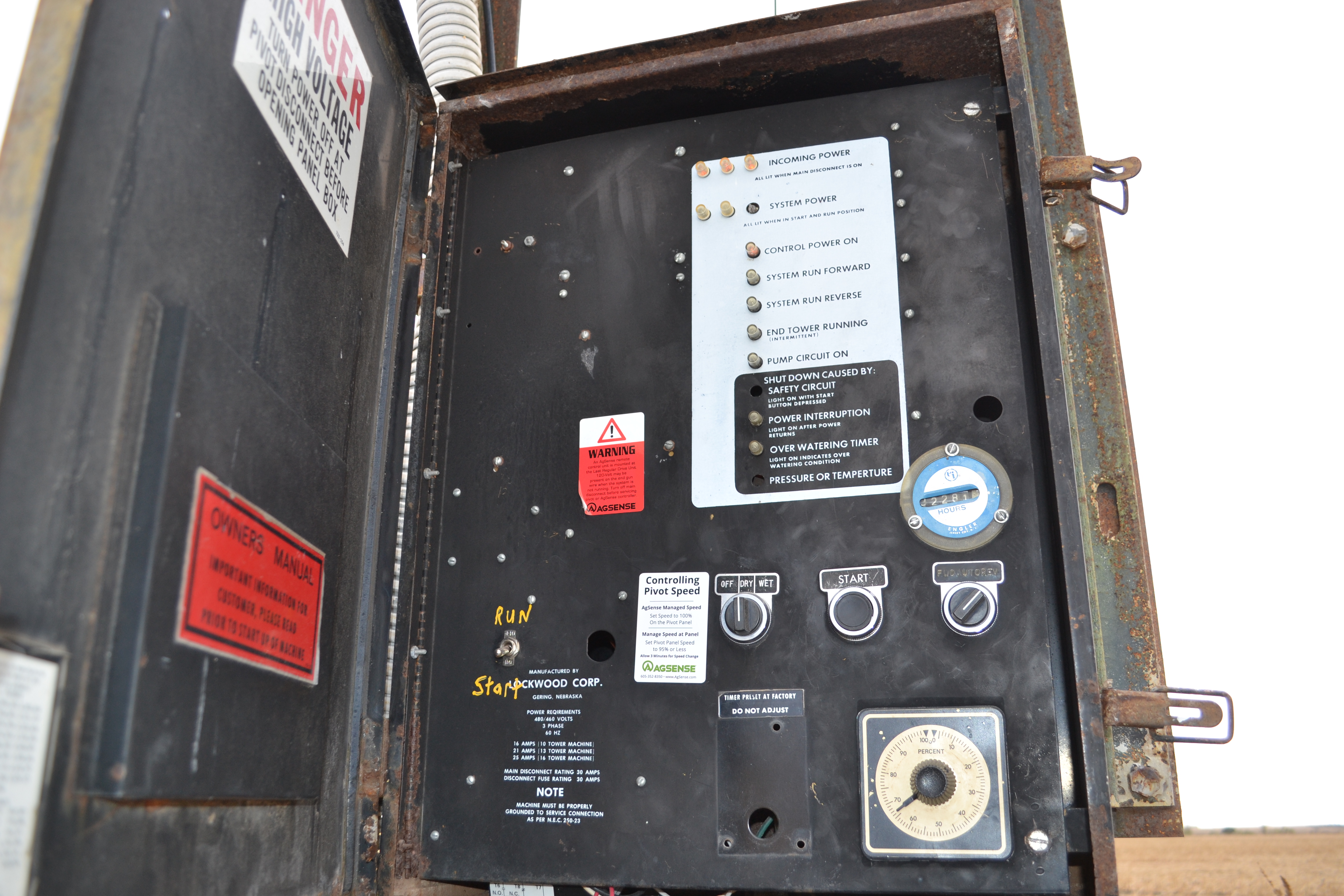
Irrigation Equipment: North circle is a 2003 7 tower T&L Center Pivot. The South Pivot is a 1985 7 Tower T&L Center Pivot. The wells are tied together to run either pivot. These pivots have been in operating condition, they will more than likely need to be updated in the future. 100 Hp. Electric Motor (S), & a 75 Hp. Electric Motor (N). Ag Sense Equipment owned by Tenant.
NRD Info: 247.5 Certified acres. Well #’s G-040939 & G-122934 . There are 2 irrigation wells supplying the center pivots drilled in 1974 & 2003 with a depth of 435 & 440 feet, 2,000 & 1159 gallons per minute and a pumping level of 205 & 262 feet, The static level was 94’ and 132’. (1 chemigation valve has now been replaced (and just needs to be inspected) before chemigation can occur in the next crop year)
Farm Service Agency Information: 244 Acres under pivot, 55.71 Acres Dryland. 294.71 acres Farm Land, 294.71 acres DCP Cropland. Wheat base is 72.36 acres and PLC yield of 69 bushel, 93.72 Acres corn base with a PLC Yield of 157 bushel.
Soils: Primarily Alliance, Duroc and Hemingford Loam.
Possession: Buyer will have Full Possession on Closing.
Sale Day Deposit: $80,000.00
Crop Ins Proven Yields to 2019
FSA Helroy Info All
FSA Helroy maps All
NRD Remaining Inches Available
Tile Insurance Preliminary
35 ACREAGE NOT INCLUDED Survey
Taxes: The Seller will pay all Real Estate taxes to December 31, 2020.
Possession: Buyer will have Full Possession on Closing.
TERMS: The Land is to be sold for Cash, not contingent on financing. All financial arrangements must be made prior to the sale. Sale Day Deposits due upon being the successful Bidder which requires signing the Purchase Agreement. The balance will be due on Closing on or before January 14th, 2021. Seller will agree to co-operate should the Buyer be using a 10-31 Tax Deferred Exchange (not to exceed the intended Closing). The Sale is subject to Seller Confirmation. However, it is the intention of the Seller to sell to the highest and best Bidder! Buyers must do their investigation and due diligence prior to
bidding. The information and maps provided are by the various sources deemed reliable, however, Kraupie’s Real Estate & Auctioneers (Agents for the Seller) do not assume responsibility for its accuracy or completeness. The land will be sold by the taxed acre “Bidders Choice”. Announcements at auction time supersede all prior advertising printed, or, oral.

