Clark Box Butte County Farm & Ranch
Clark Farm & Ranch with Improvements
644 Acres +/-
SOLD! $1,125,000.00
Land Located: at 7040 Madison Road Alliance, Nebraska. from Alliance, 8 miles west on Otoe Road, 2 miles north on Rd 69 and 1 mile west on Madison Rd. (to the southeast corner), or 2 miles north of Alliance on Hwy. 2 & 385 then 8 ¼ miles west on Madison Rd. Plat Map
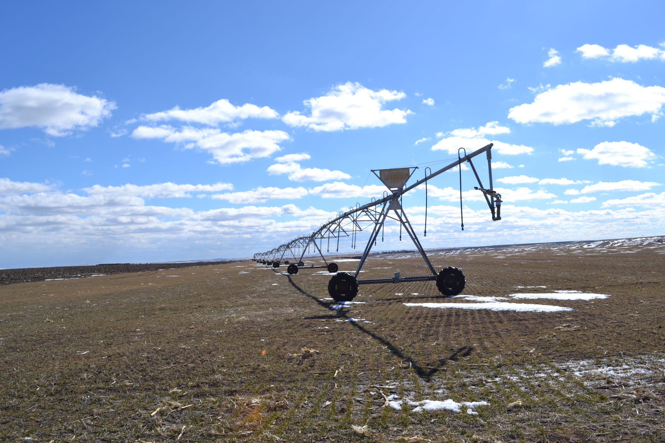
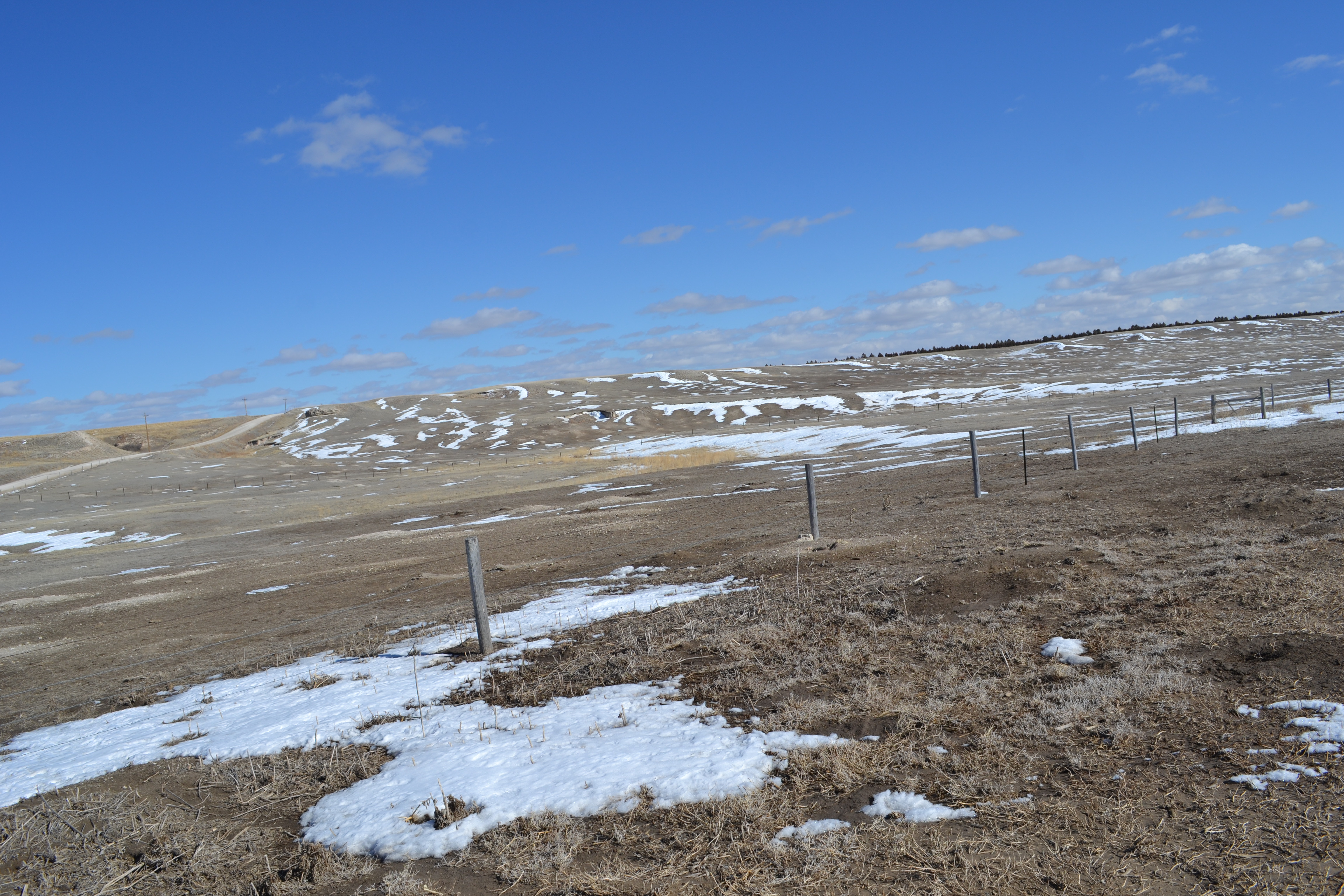
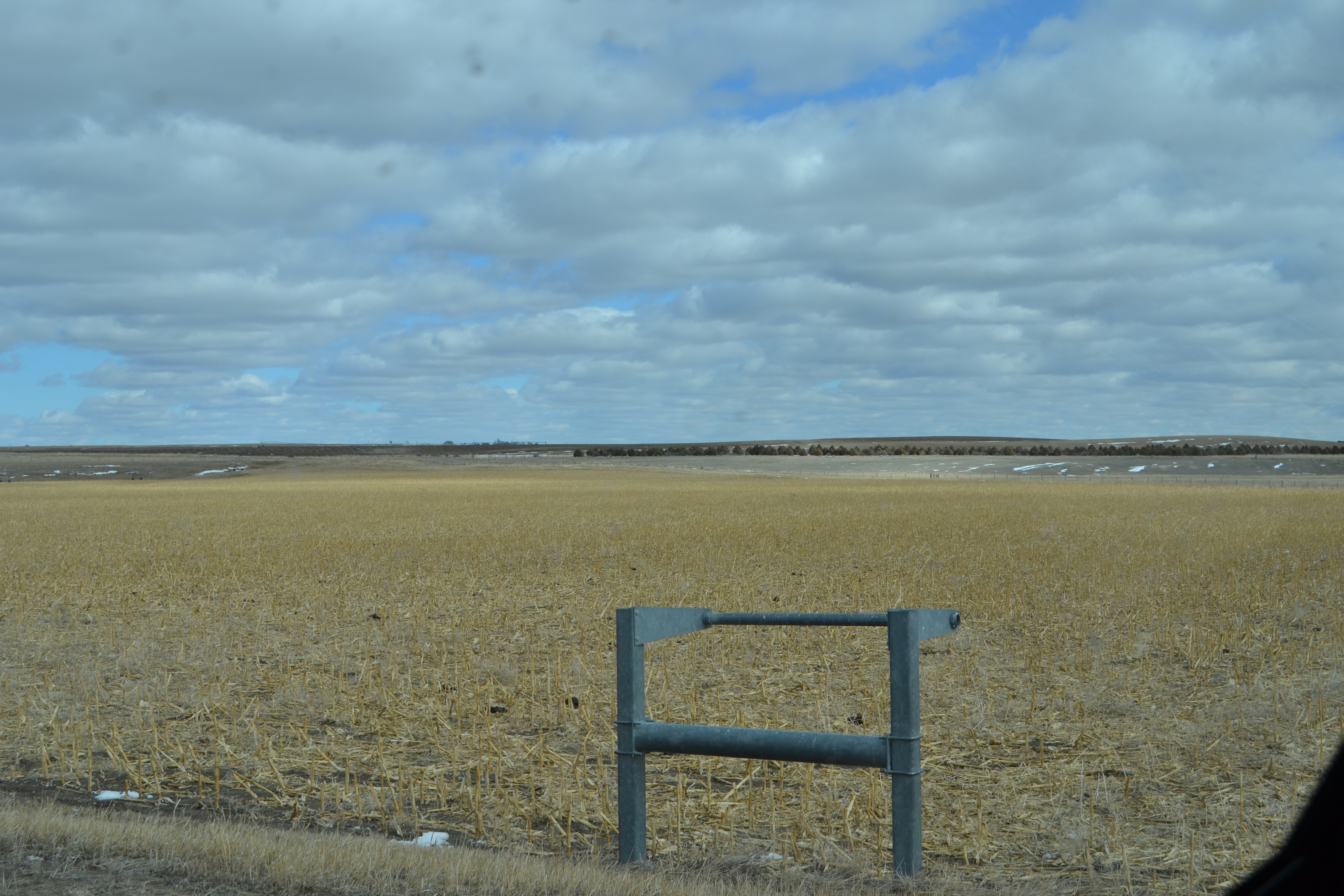
This Pivot Irrigated Farm has 4 Center Pivots. The pivots irrigate 349.3 acres +/- cultivated productive farm land with three grass pastures fenced separately off the irrigated land.
The Clark’s operation focused on Farming and Cattle.
The Home is a Ranch Style Home with 3 Bedrooms up and a ¾ bath and a ½ bath, Kitchen, Dining and Living area. The Clark’s have kept the home in good condition. There is a full basement with 2 rooms mostly finished for non-conforming bedrooms and unfinished open areas. The attached Garage is mostly finished and has overhead door openers. The Home has a stucco exterior and a good roof.
There are 2 domestic wells at the Headquarters, both wells are submersibles: one in the garage at the house and 1 White Water pump at the NW corner of the yard.
A windmill on the pasture and a domestic well in the Farmground supplying stock water to the 2 north pivots and northeast pasture.
The irrigation water is relatively shallow with pumping levels from 95 to 120 ft. Well depths range from 287 to 370 ft.
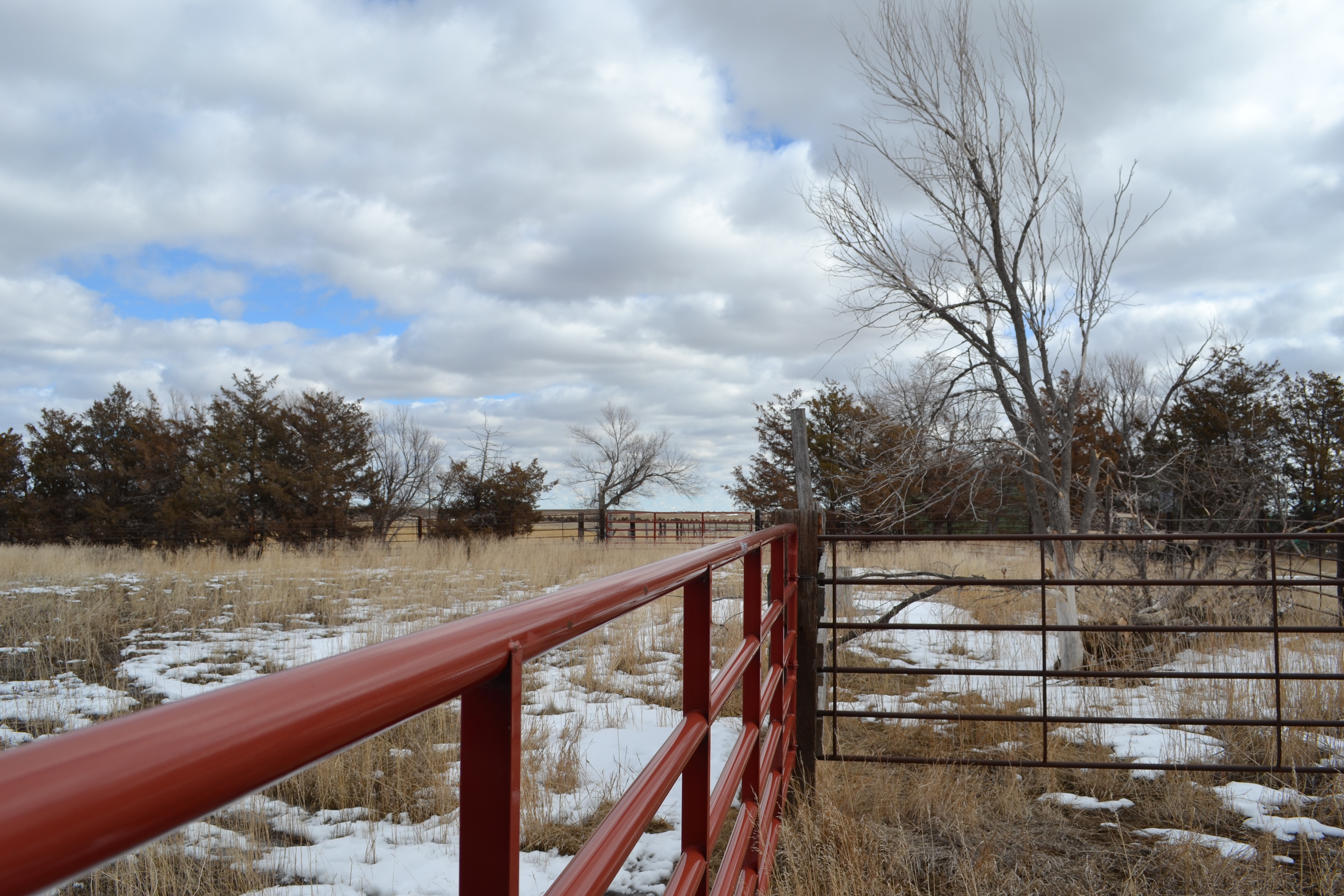
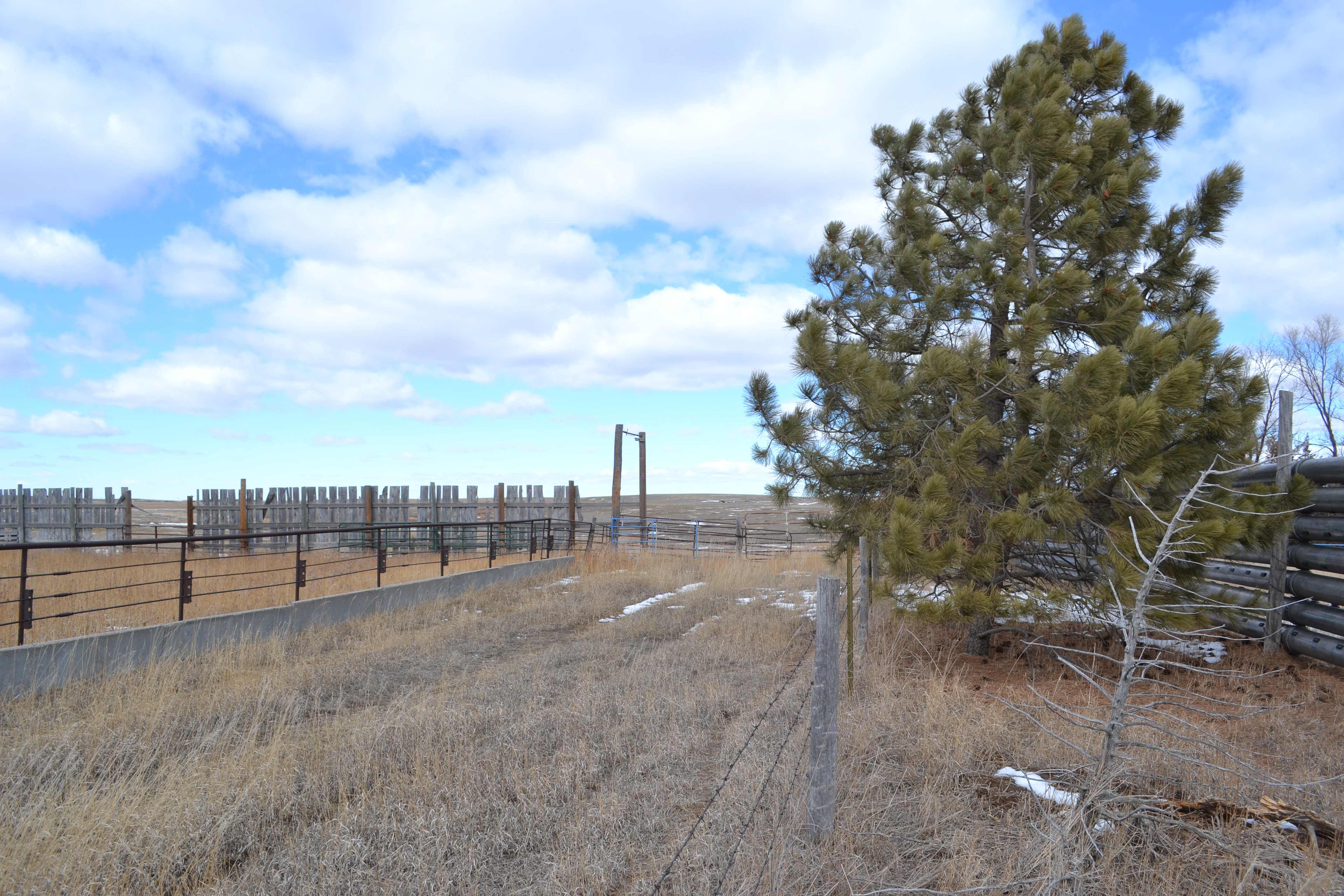
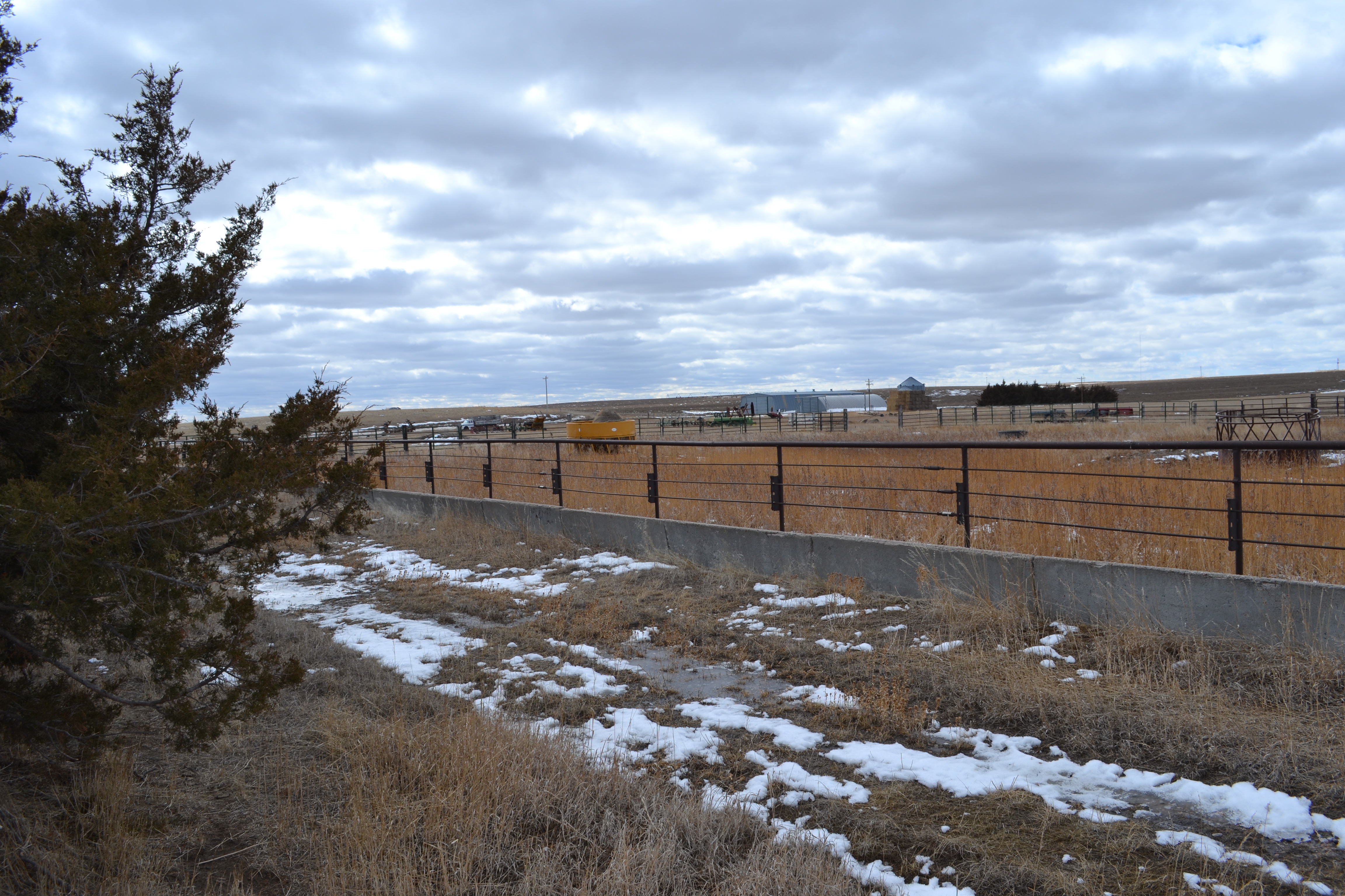
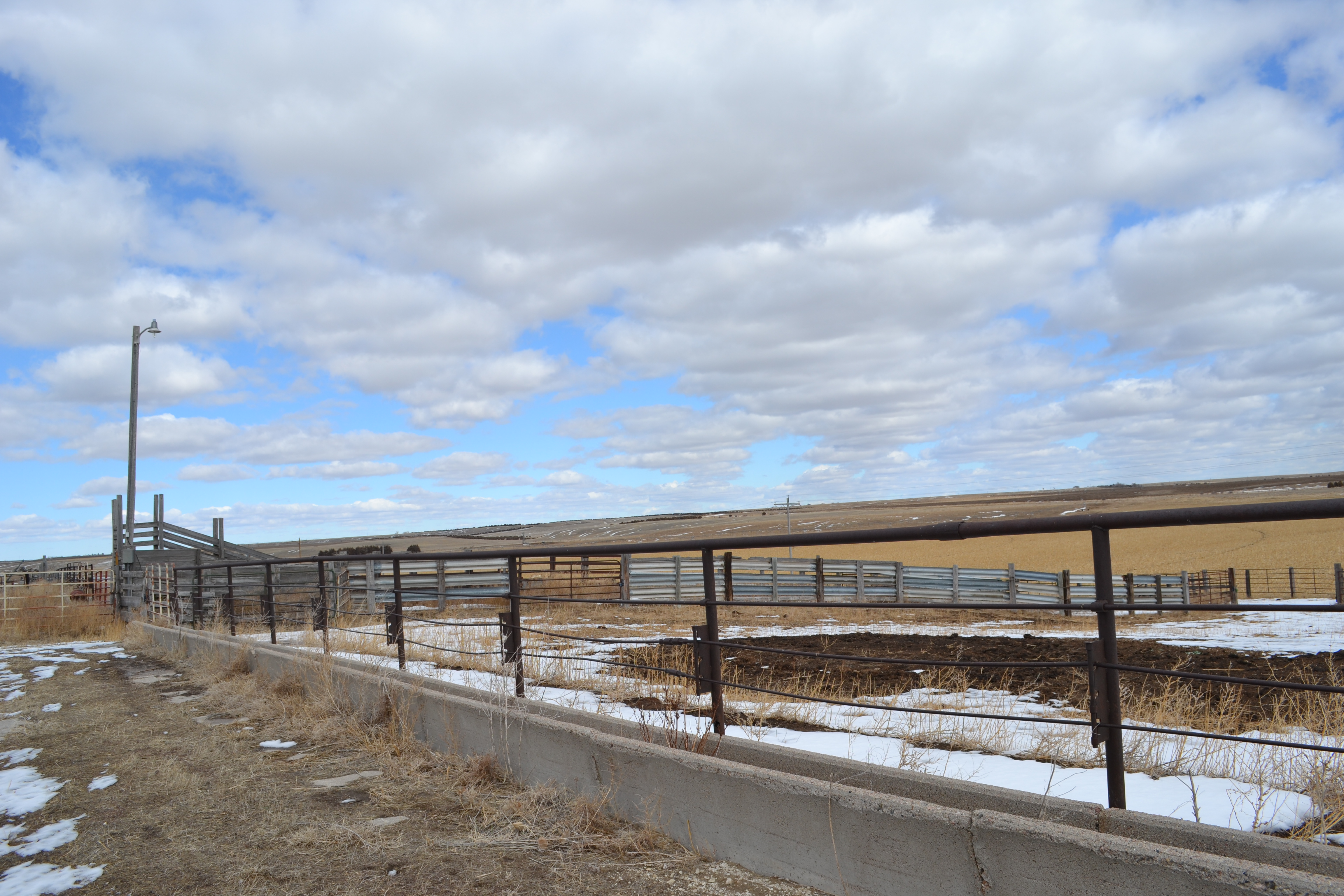
The improvements include Feeding Corrals, Calving Barn, Two Machinery Sheds, 26,000 Bu. Grain Storage, cement bunk and aprons, windbreak and working facility.
Aerial FSA Maps Soils All NDVI Farmground only Contours Map
Legal Description: E1/2 Section 7, E1/2 Section 18 in Twp. 25N, Range 49 West of the 6th P.M. Box Butte County, NE.
Real Estate Tax Information: 2020 Taxes are $12,929.20 on 644.02 acres. Taxing on 355.43 Irrigated acres, 237.65 acres Grass and 35.94 Dryland acres. Appraised value for taxes is $1,423,970.00. Taxing on $1,024,390.00.
Irrigation Equipment: Most of the Pivots have been repaired by Western Valley Irrigation in Alliance.
From North to south: 1980 Zimmatic Model 307 Seven Tower Picot, 75 Hp. Elect. Motor (shared).
1990 Valley Model 6000, Six Tower Pivot with 75 Hp. Elect. Motor (shared).
Older Valley 9 Tower galvanized, 60 Hp. Elect. Motor
2004 Valley Model 8000 Eight Tower Pivot, 60 Hp. Elect. Motor
NRD Info: Allocation Period 2020 to 2024. 387.7 total certified acres.
E ½ 18: 106.8 acres ½ circle – 74.3 inches remaining, irrigated by well G-026675
NENE 07: 67.33 acres ½ circle – 79.67 inches remaining, irrigated by well G-071292
Mid NE 07: 100 acres circle – 81.42 inches remaining, irrigated by well G-071292
SENE 07: 113.57 acres circle – 113.57 inches remaining, irrigated by well G-043942
Farm Service Agency Information: Farm Land is 638.89 acres DCP Cropland is 440.39 acres. Wheat base is 96.1 acres, Corn Base 79 acres. PLC yield of 65 bu. On Wheat and 114 bu. on Corn.
Crop Insurance: carried with Farm Credit Services in Alliance.
Soils: In the Farmground: Alliance and Keith loam 1-3% slop, Craft very fine sandy loam, Oglala-Canyon complex 3-9% slope, Bridget very fine sandy loam 1-3% slope, and others. SRPG Rating 47.2.
Possession: Buyer will have Full Possession on Closing. The sale will be subject to the right of the Seller to have a Farm Sale on the property.
Asking Price: $1,125,000.00 Under Contract!

