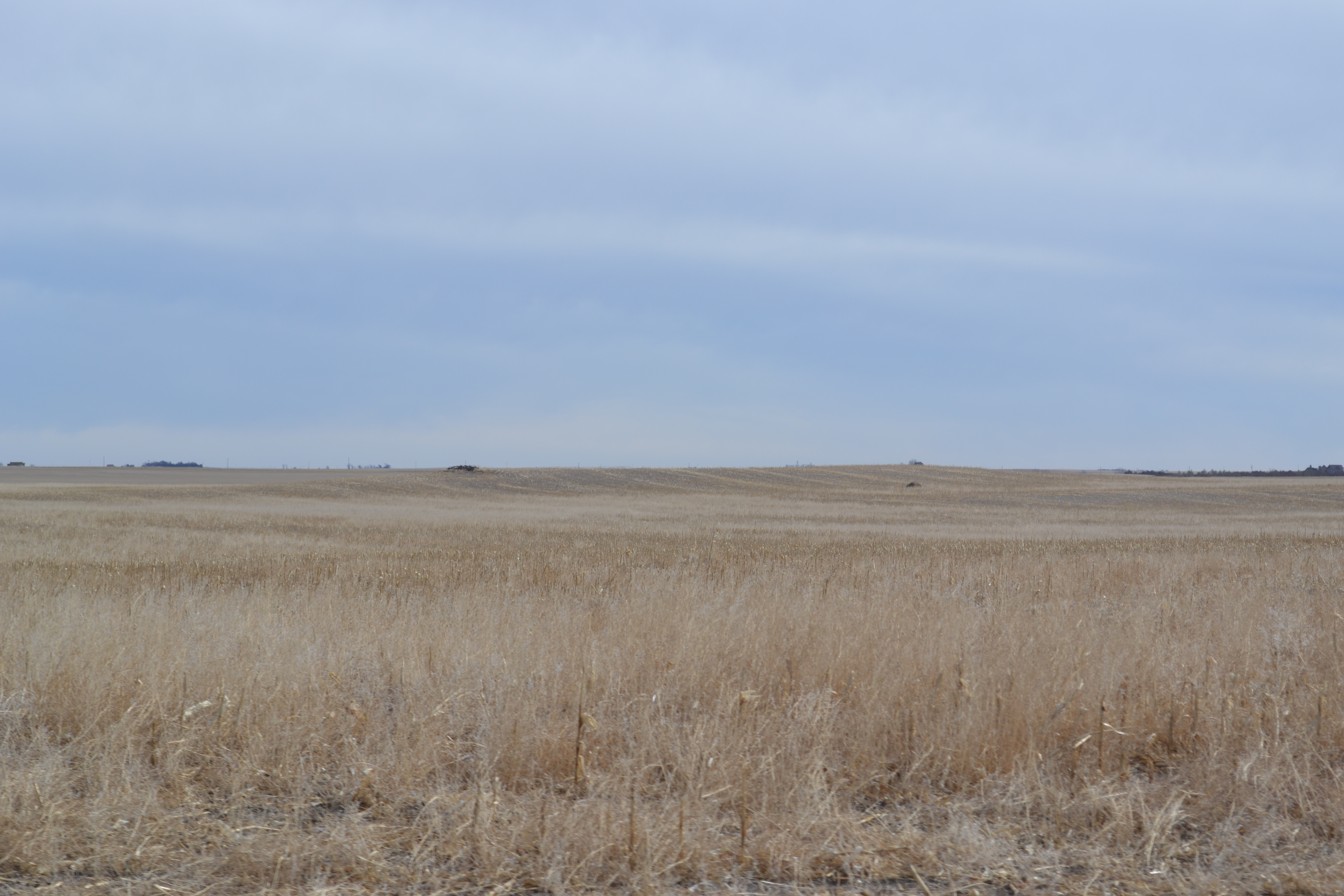
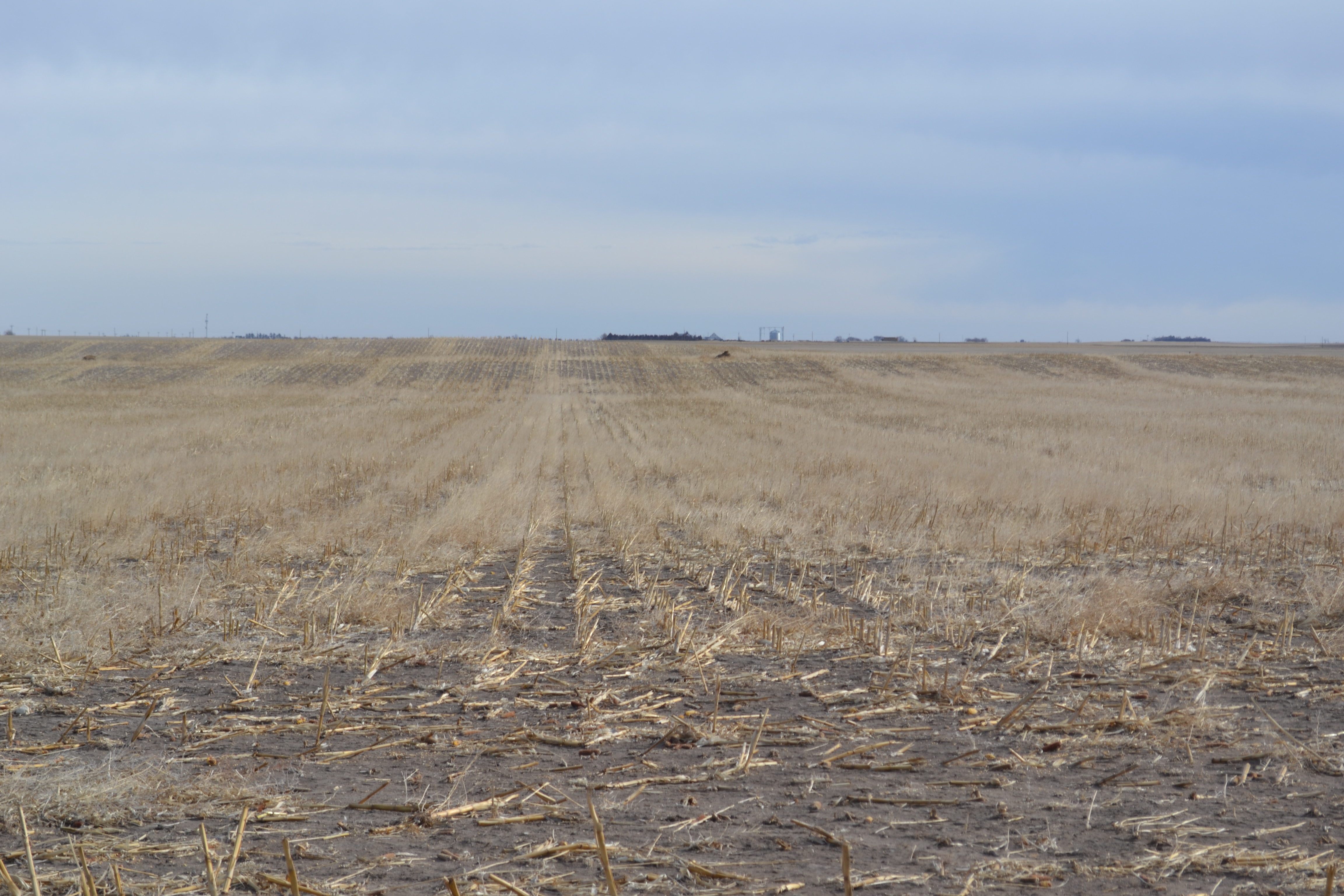
Cheyenne County Wheatland
612.3 Total Taxed Acres
SOLD! $931,070.00
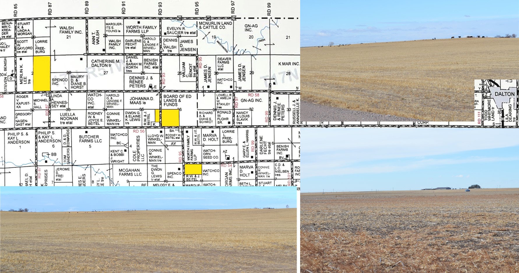
Located West of Dalton, Nebraska (approx. 9 to 12 miles)
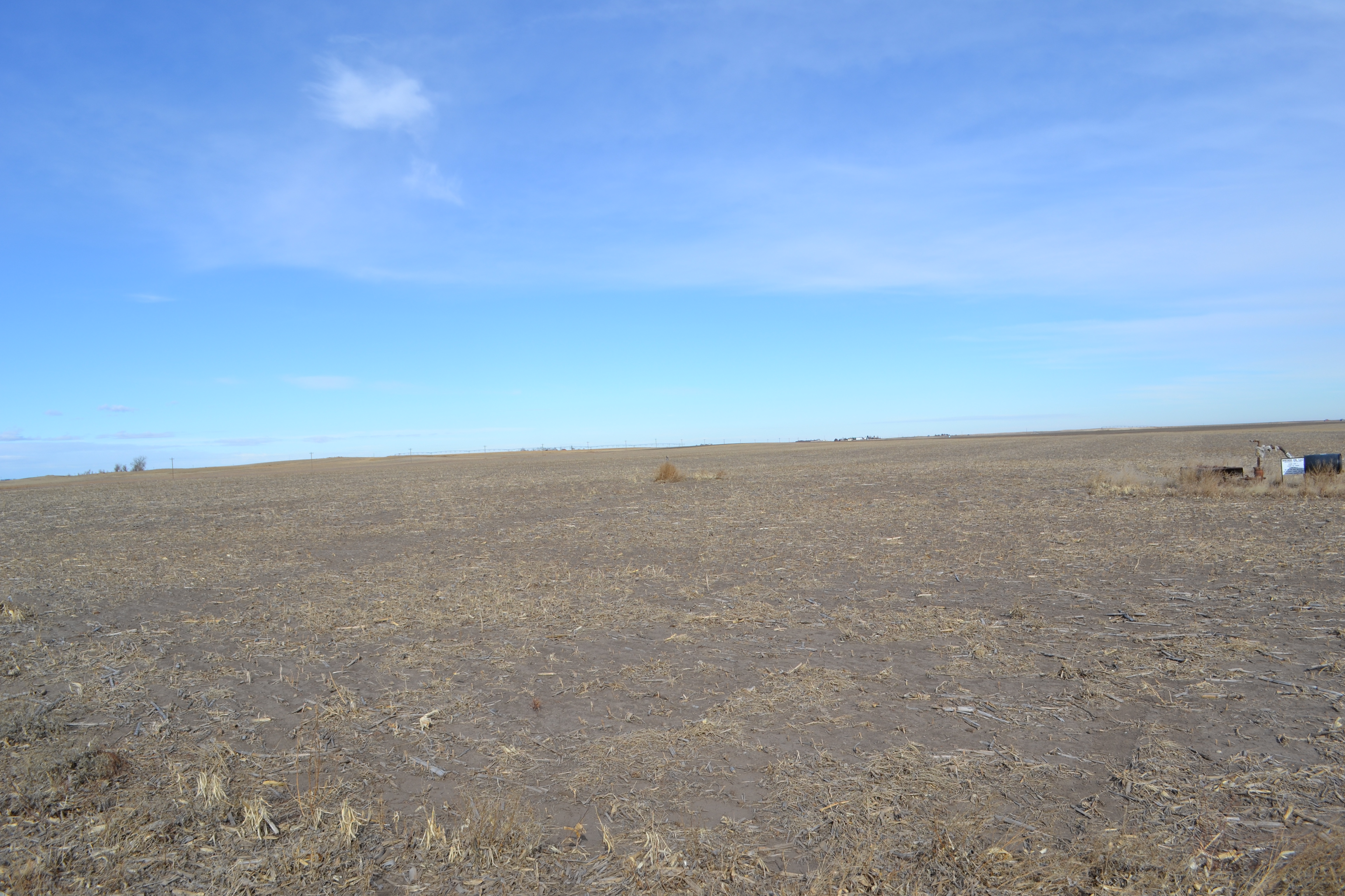
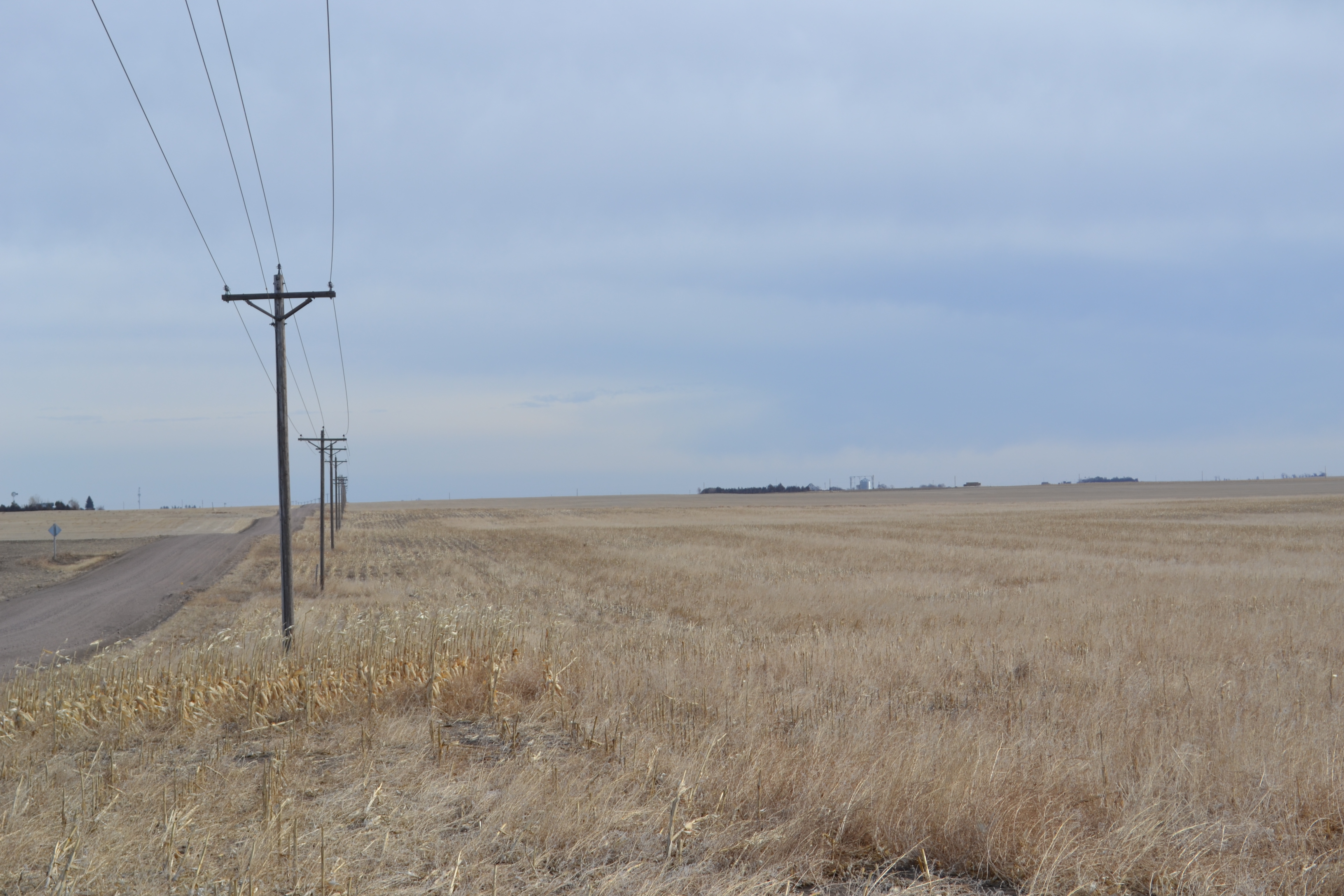
This land has been in this Family since the 1940s! Good Quality wheat land in a highly respected farming area. The land is not contiguous but in close proximity. The land has been farmed for non-irrigated crops. Last year raising dryland Corn and Forage Crops.
Cash Rented for the 2021 Crop Year at $35.00 per crop acre (year to year). No written lease available.
Legal Descriptions:
E1/2 Section 29;
SW1/4 Section 36;
E1/2NE1/4SE1/4, NE1/4SE1/4SE1/4 Section 35, Twp. 17 North, Range 51;
N1/2NW1/4, 1/2N1/2S1/2NW1/4 in Section 11, Twp. 16 North Range 51;
ALL West of the 6th PM in Cheyenne County, Nebraska.
2020 Real Estate Taxes: $5,204.76. Tax ID #’s999996 170004740,170007502,170007545,170006581. ($8.50 per axed acre)
Soils: Soils in the farm include:
Section 29: Altvan Loam, Alliance Loam. Duroc Loam and Keith Loam Soil Rating for Plant Growth (SRPG) is 53.9. 29 Soils map
Section 35: Duroc Loam, Kuma Loam, Alliance Loam. and Rosebud Loam Soil Rating for Plant Growth (SRPG) is 48.4.
Section 36: Kuma Loam, Duroc Loam, Alliance Loam. and Rosebud Loam Soil Rating for Plant Growth (SRPG) is 54.5. 35-36 Soils Map
Section 11: Alliance Loam, Duroc Loam and Keith Loam Soil Rating for Plant Growth (SRPG) is 57.4. 11 Soils
FSA Information:
Section 29: 319.56 acres Farmland, 319.56 acres DCP Cropland, 179.72 acres Wheat Base.
29 NDVI 29 Topography Map 29 Aerial
Section 35: 30.19 acres Farmland, 27.61 acres DCP Cropland, 15.51 acres Wheat Base.
35-36 NDVI 35-36 Topography Map 35-36 Aerial Map 35-36 Crop History Map
Section 36: 157.74 acres Farmland, 157.24 acres DCP Cropland, 88.43 acres Wheat Base.
Section 11: 97.88 acres Farmland, 97.88 acres DCP Cropland, 55,04 acres Wheat Base
11 NDVI Map 11 Contours 11 Aerial
All PLC Yield – 38 Bu.

